Map of Asbury Park, New Jersey
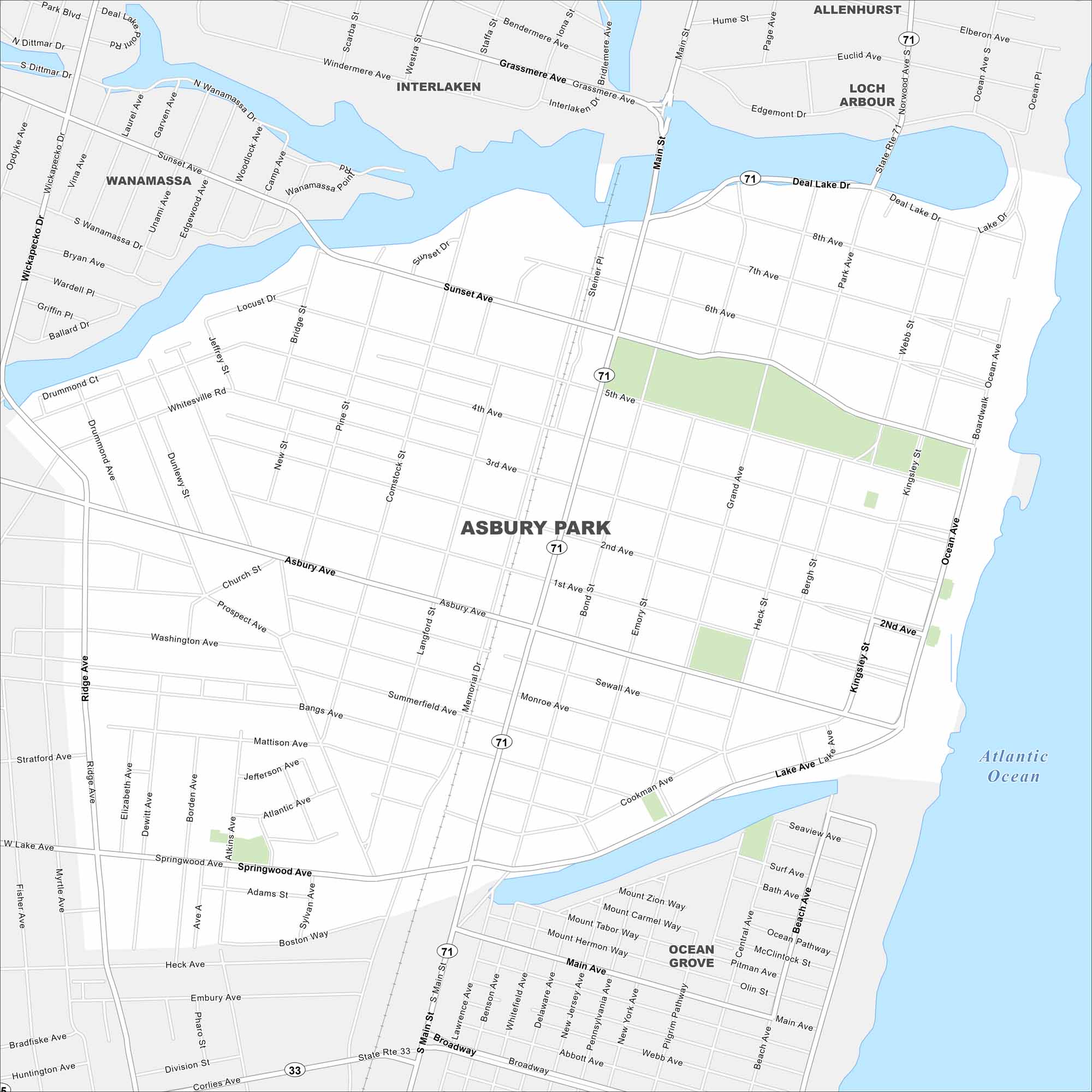
See the streets, highways, and waterfront edges on this map. Our map of Asbury Park highlights its roads leading to the shore. The city is famous for its boardwalk along the Atlantic Ocean.
Map Information
On the Map
Interstates/Highways: State Rte 71, State Rte 33 Major Roads: Main St, Grand Ave, Memorial Dr, Kingsley St, Ocean Ave, Sunset Ave, Asbury Ave, Cookman Ave, Springwood Ave, Bridge St, Bond St, Emory St, Heck St, Bergh St, Lawrence Ave, Comstock St, Langford St, 8th Ave, 5th Ave, 2nd Ave Lakes and Reservoirs: Atlantic Ocean Nearby Communities: Allenhurst, Loch Arbour, Interlaken, Wanamassa, Ocean GroveNew Jersey State Maps
Explore maps from the Garden State.


City Maps of New Jersey
Newark and New Jersey cities in complete detail


