Map of Arroyo Grande, California
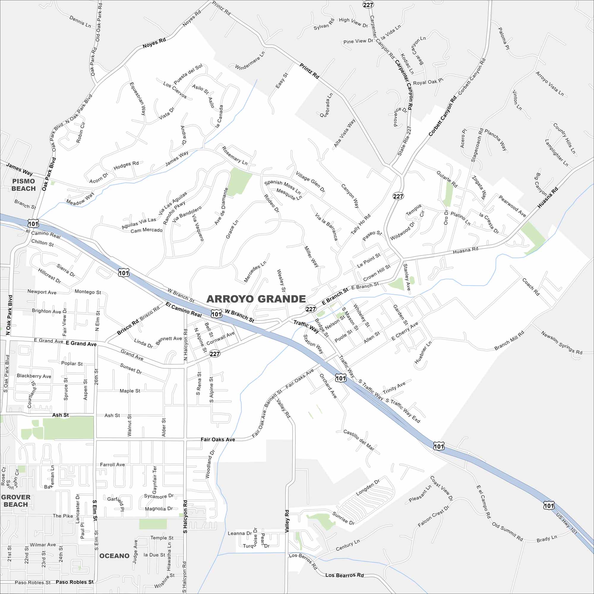
Here’s our map of Arroyo Grande. You’ll find roads that run through vineyards. It’s known for being a historic village. But it still has kept its Central Coast charm.
California State Maps
Explore California with our state maps


Map Information
On the Map
Interstates/Highways: US Hwy 101, State Rte 227 Major Roads: El Camino Real, Branch St, Grand Ave, Fair Oaks Ave, Halcyon Rd, Valley Rd, Traffic Way, Corbett Canyon Rd, Huasna Rd, Brisco Rd, Oak Park Blvd, James Way, Printz Rd, Noyes Rd, Los Berros Rd, Branch Mill Rd, Ash St, Elm St, Station Way, Orchard Ave Nearby Communities: Arroyo Grande, Pismo Beach, Grover Beach, OceanoCalifornia City Maps
Here are detailed maps of California


