Map of Appleton, Wisconsin
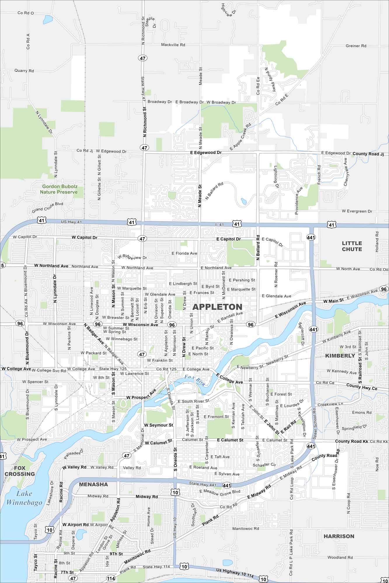
Here’s our map of Appleton, Wisconsin. Two major features are the Fox River and Lake Winnebago. In our map, you’ll find roads, parks and lakes.
Map Information
On the Map
Interstates/Highways: I-41, US Hwy 41, US Hwy 10, State Rte 47, State Rte 125, State Rte 441, State Rte 96, State Rte 114 Major Roads: College Ave, Northland Ave, Wisconsin Ave, Richmond St, Meade St, Ballard Rd, Oneida St, Memorial Dr, Calumet St, Prospect Ave, Capitol Dr, Edgewood Dr, Broadway Dr, Evergreen Dr, French Rd, Holland Rd, Midway Rd, Valley Rd, Airport Rd, Plank Rd Airports: Appleton Intl Airport Lakes and Reservoirs: Lake Winnebago Major Rivers: Fox River Parks and Preserves: Gordon Bubolz Nature Preserve Nearby Communities: Little Chute, Kimberly, Harrison, Menasha, Fox CrossingWisconsin State Maps
Discover maps of the Badger State.


City Maps of Wisconsin
See our Wisconsin maps designed for clarity.


