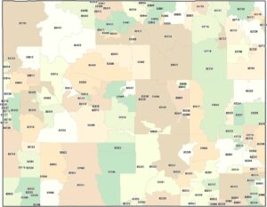
Map of Wyoming
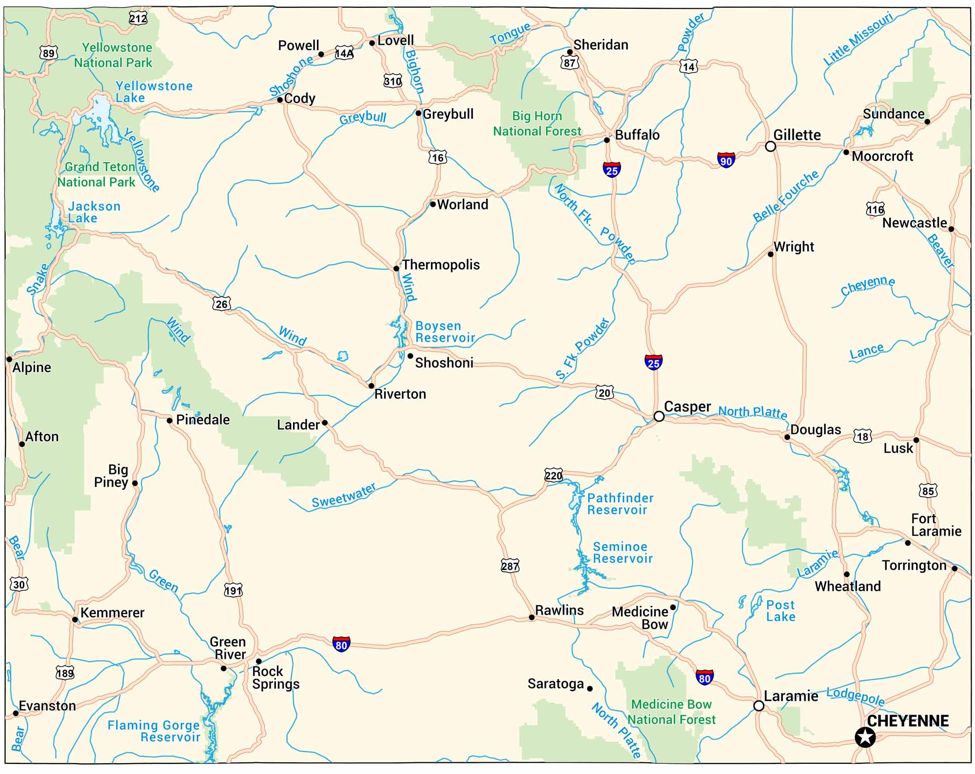
Our map of Wyoming shows highways, rivers, and lakes across the state. Yellowstone National Park sits in the northwest, surrounded by mountains and wide plains. The rest is mostly open country stretching for miles.
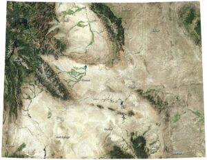
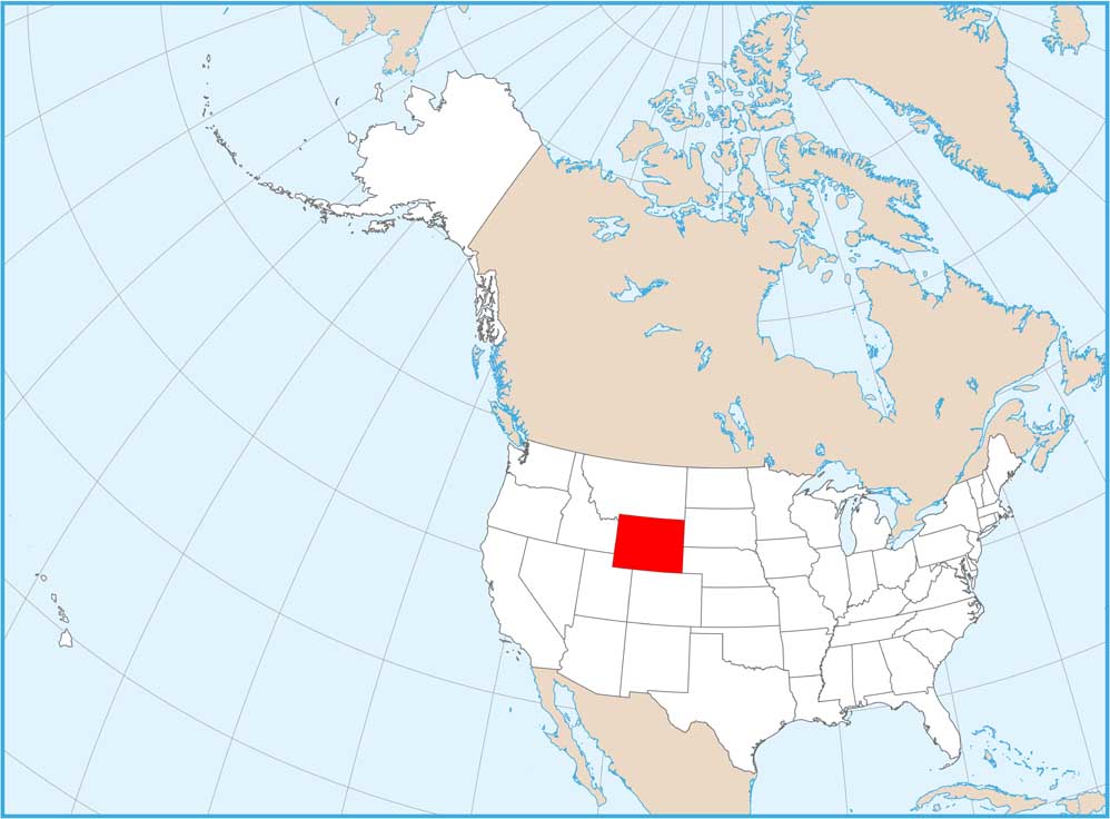
Wyoming State Maps
Check out our maps across wide plains and peaks.


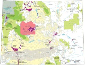


Map Information
On the Map
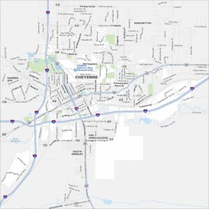
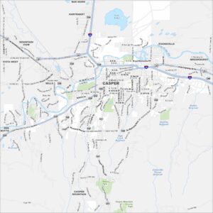
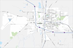
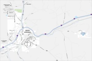
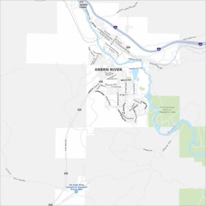
City Maps of Wyoming
Here’s Wyoming mapped from every angle