Map of Adelanto, California
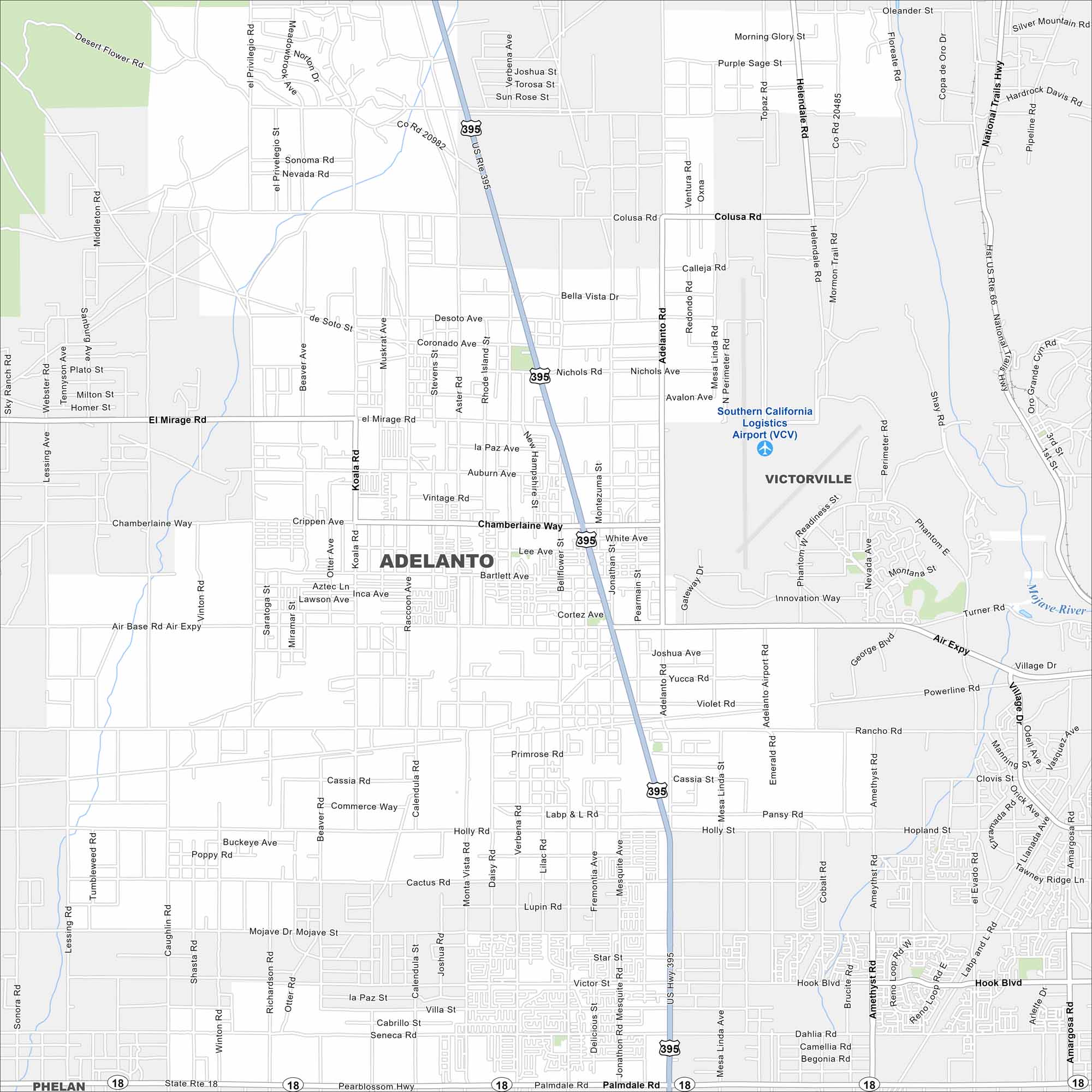
Adelanto spreads across the Mojave Desert. Its wide roads and highways cut through open land. Our map highlights its desert setting. But the San Gabriel Mountains loom to the south.
California State Maps
Explore California with our state maps


Map Information
On the Map
Interstates/Highways: US Rte 395, State Rte 18, National Trails Hwy Major Roads: Palmdale Rd, Air Expy, Adelanto Rd, Chamberlaine Way, El Mirage Rd, Hook Blvd, Pearblossom Hwy, Bellflower St, Koala Rd, Jonathan Rd, Beaver Rd, White Ave, Aster Rd, Cassia St, Holly Rd, Amargosa Rd, Lessing Ave, Auburn Ave, Bartlett Ave, Lee Ave Airports: Southern California Logistics Airport (VCV) Major Rivers: Mojave River Nearby Communities: Victorville, PhelanCalifornia City Maps
Here are detailed maps of California


