Map of Alhambra, California
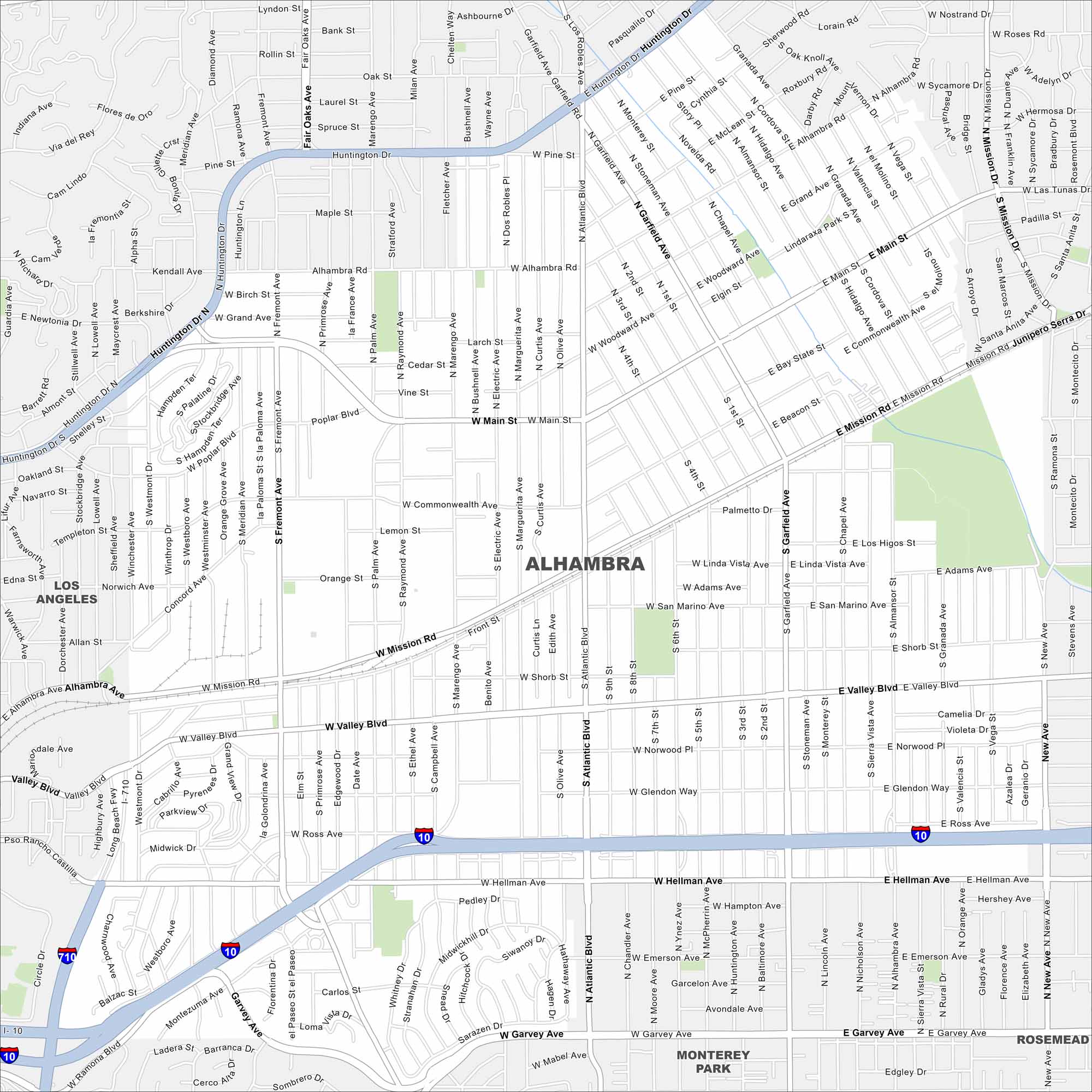
Our map of Alhambra lays out its streets and waterways. This city is positioned next to Los Angeles. The city is a gateway to the San Gabriel Valley.
California State Maps
Explore California with our state maps


Map Information
On the Map
Interstates/Highways: I-10, I-710 Major Roads: Main St, Valley Blvd, Mission Rd, Atlantic Blvd, Garfield Ave, Fremont Ave, Huntington Dr, Alhambra Rd, Commonwealth Ave, Hellman Ave, Emerson Ave, Garvey Ave, Poplar Blvd, Grand Ave, Ross Ave, Midwick Dr, Orange St, San Marino Ave, Linda Vista Ave, Adams Ave Nearby Communities: Los Angeles, Monterey Park, RosemeadCalifornia City Maps
Here are detailed maps of California


