Map of Arcata, California
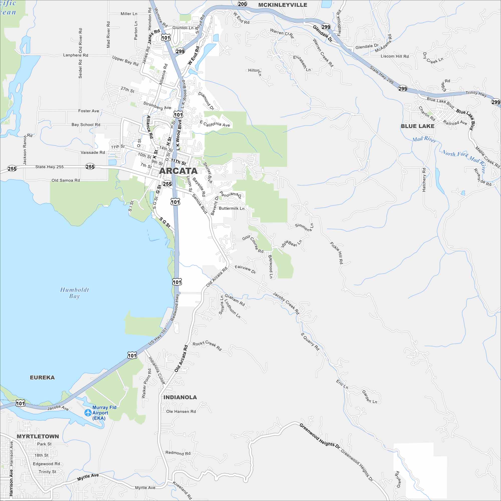
Arcata sits right next to Humboldt Bay in Northern California. Our map shows its coastal surroundings and much more. Arcata also is a college town with unique redwood scenery.
California State Maps
Explore California with our state maps


Map Information
On the Map
Interstates/Highways: US Hwy 101, State Hwy 255, State Hwy 299 Major Roads: Redwood Hwy, Giuntoli Ln, West End Rd, Alliance Rd, Janes Rd, L K Wood Blvd, Samoa Blvd, Union St, G St, H St, Old Arcata Rd, Fickle Hill Rd, Jacoby Creek Rd, Boyd Rd, Foster Ave, 11th St, 14th St, 27th St, Buttermilk Ln, Bayside Rd Airports: Murray Fld Airport (EKA) Lakes and Reservoirs: Humboldt Bay Major Rivers: Mad River Nearby Communities: Arcata, Eureka, McKinleyville, Blue Lake, Indianola, Myrtletown, BaysideCalifornia City Maps
Here are detailed maps of California


