Map of Bayonne, New Jersey
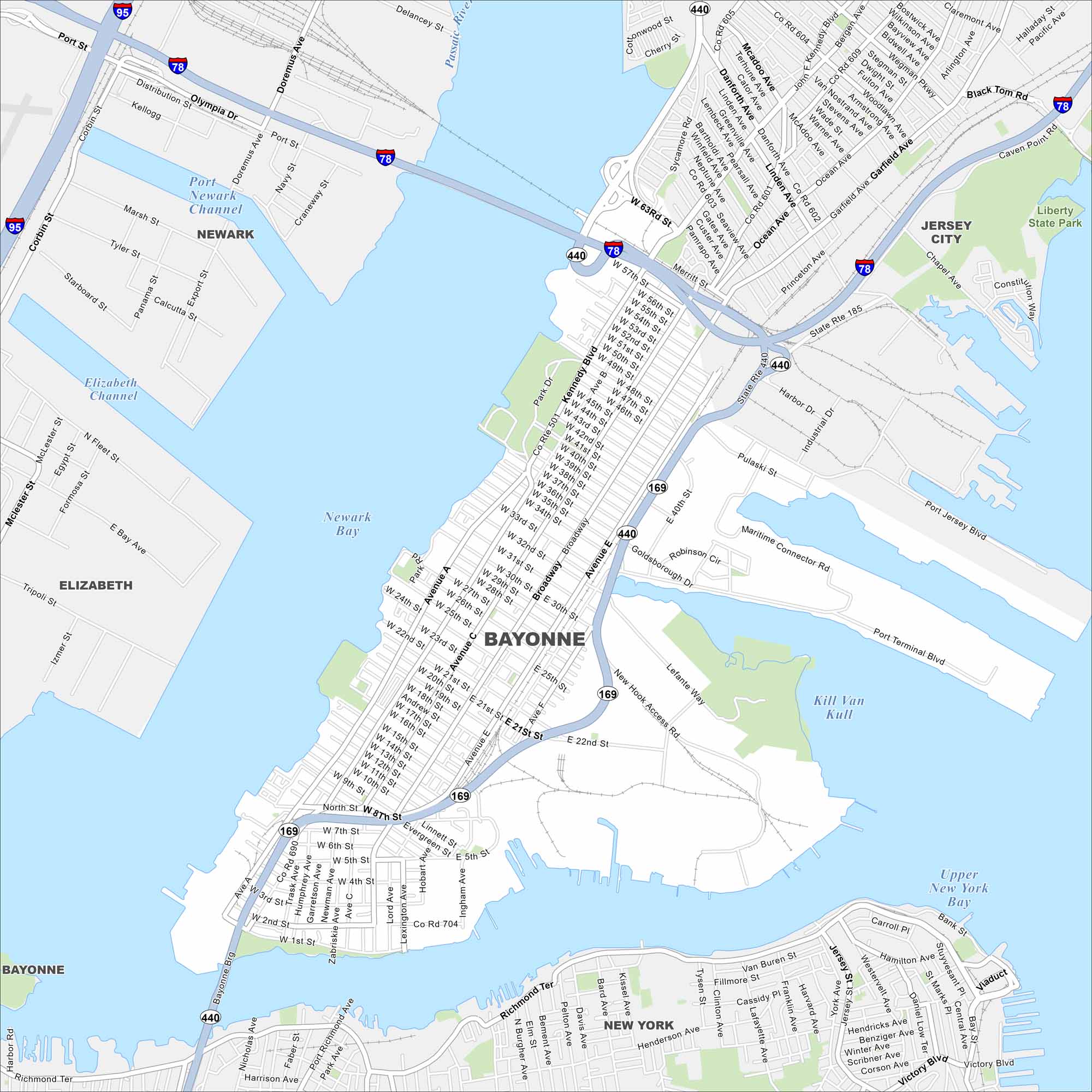
Bayonne is on a peninsula between Newark Bay and New York Harbor. Our map shows its waterfront, city grid, and connecting bridges. Its location makes it an important port and residential city near New York.
Map Information
On the Map
Interstates/Highways: I-78, I-95, State Rte 440, State Rte 185, State Rte 169 Major Roads: Kennedy Blvd, Broadway, Avenue C, Avenue E, Avenue A, Ocean Ave, Garfield Ave, Princeton Ave, Port Terminal Blvd, Maritime Connector Rd, Goldsborough Dr, Lefante Way, New Hook Access Rd, Churenkov St, Hook Rd, Pulaski St, Harbor Dr, Industrial Dr, Constitution Way, Port Jersey Blvd Lakes and Reservoirs: Upper New York Bay, Newark Bay, Kill Van Kull Major Rivers: Port Newark Channel, Elizabeth Channel, Passaic River Parks and Preserves: Liberty State Park Nearby Communities: Newark, Elizabeth, Jersey City, New YorkNew Jersey State Maps
Explore maps from the Garden State.


City Maps of New Jersey
Newark and New Jersey cities in complete detail


