Map of Bell, California
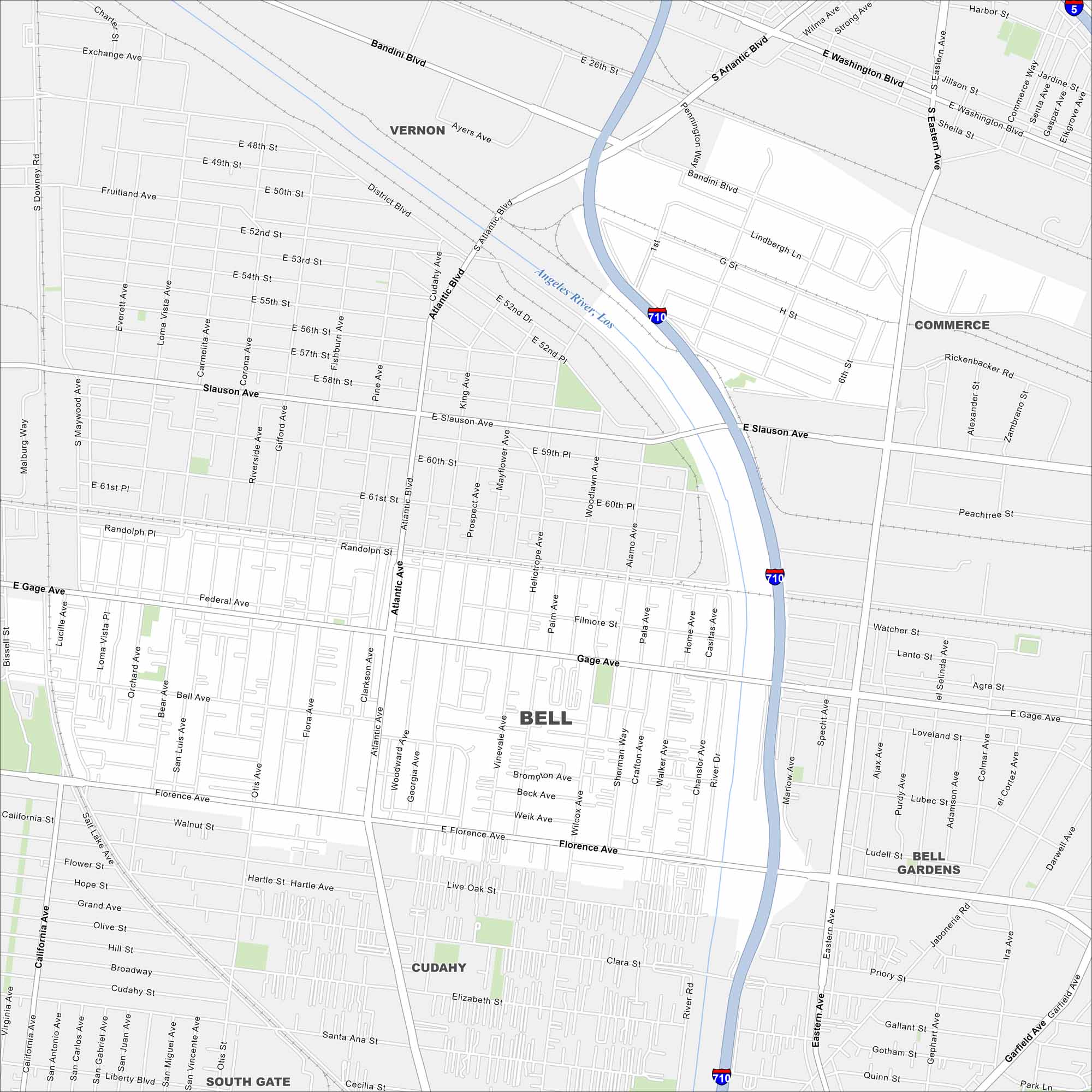
Bell is in southeast Los Angeles County along the Los Angeles River. Our map shows streets, local parks, and nearby freeways. It’s part of the greater LA urban area.
California State Maps
Explore California with our state maps


Map Information
On the Map
Interstates/Highways: I-710, I-5 Major Roads: Atlantic Blvd, Florence Ave, Slauson Ave, Gage Ave, Eastern Ave, Bandini Blvd, Garfield Ave, Cudahy St, Clara St, Elizabeth St, Santa Ana St, Randolph St, District Blvd, Washington Blvd, Fruitland Ave, 52nd St, 26th St, Maywood Ave, Wilcox Ave, Otis St Major Rivers: Los Angeles River Nearby Communities: Cudahy, Commerce, Vernon, Bell Gardens, South GateCalifornia City Maps
Here are detailed maps of California


