Map of Bell Gardens, California
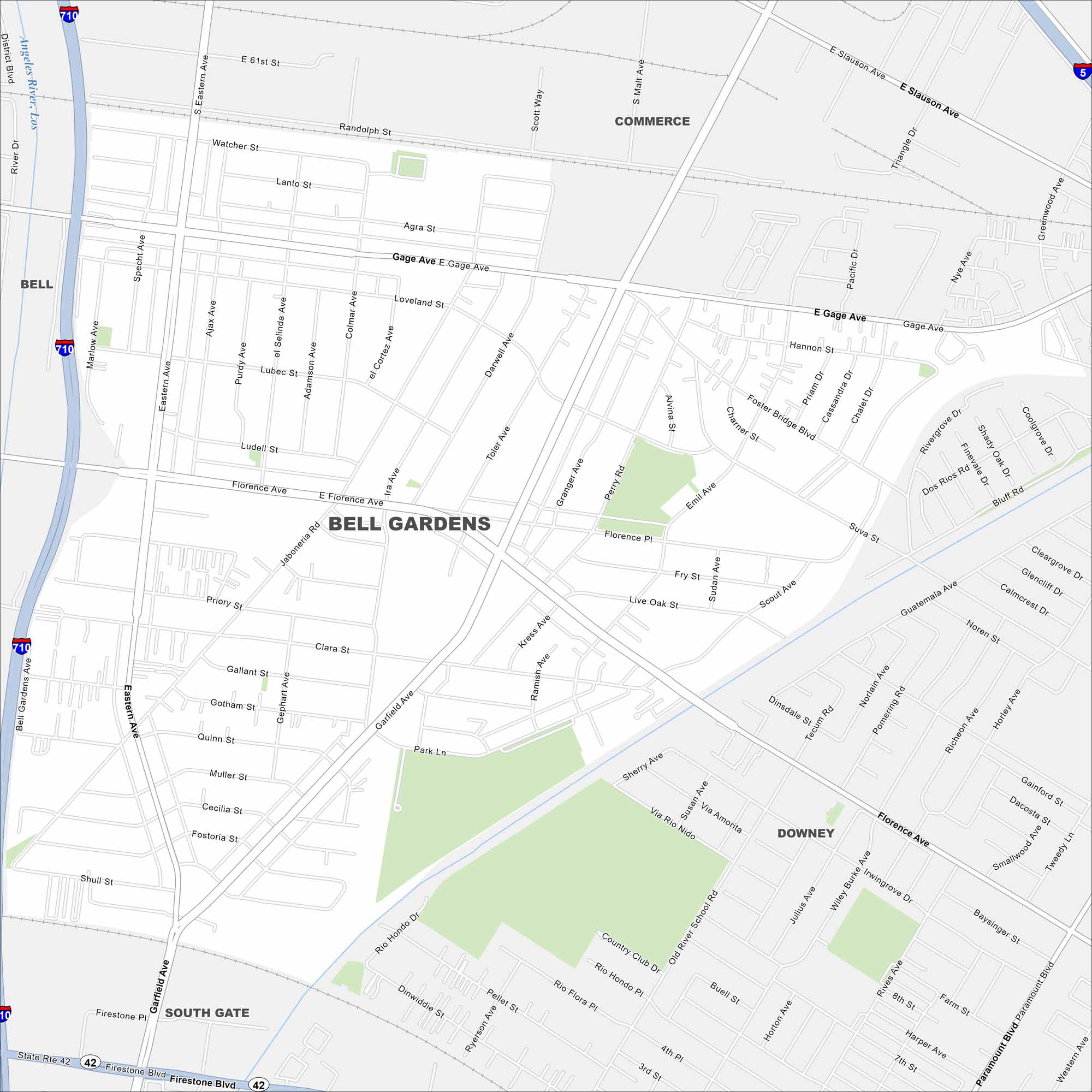
Explore Bell Gardens with our map. It’s located in the southeast of LA County. The city is compact, with a network of local streets. It’s one of the smallest cities in California by land area but densely settled.
California State Maps
Explore California with our state maps


Map Information
On the Map
Interstates/Highways: I-710, I-5, State Rte 42 Major Roads: Atlantic Blvd, Florence Ave, Gage Ave, Slauson Ave, Eastern Ave, Garfield Ave, Bandini Blvd, Washington Blvd, Firestone Blvd, Clara St, Elizabeth St, Santa Ana St, Randolph St, District Blvd, Jaboneria Rd, Live Oak St, Suva St, Foster Bridge Blvd, Paramount Blvd, Ryerson Ave Major Rivers: Los Angeles River Nearby Communities: Bell, Cudahy, Commerce, Vernon, South Gate, DowneyCalifornia City Maps
Here are detailed maps of California


