Map of Bellflower, California
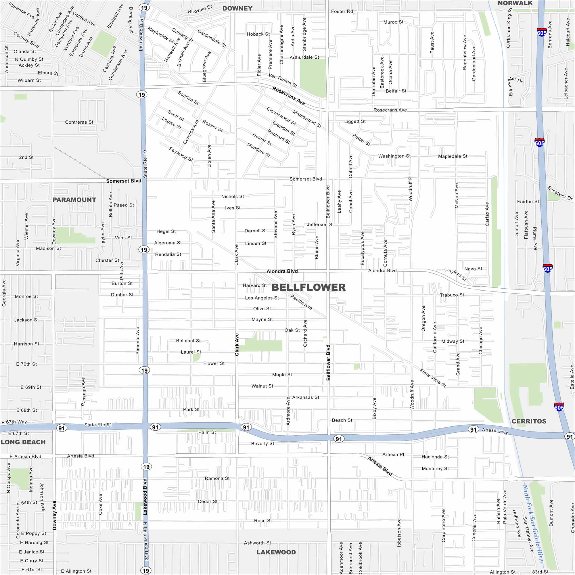
Looking for a map of Bellingham? Look no further. This map features highways, roadways, and scattered parks. It’s a classic Southern California suburb.
California State Maps
Explore California with our state maps


Map Information
On the Map
Interstates/Highways: I-605, State Rte 91, State Rte 19 Major Roads: Lakewood Blvd, Rosecrans Ave, Somerset Blvd, Alondra Blvd, Artesia Blvd, Bellflower Blvd, Woodruff Ave, Palo Verde Ave, Downey Ave, Clark Ave, Flower St, Foster Rd, Flora Vista St, Palm St, Beverly St, Beach St, Pacific Ave, Belmont St, Jefferson St, Nichols St Major Rivers: San Gabriel River Nearby Communities: Paramount, Downey, Norwalk, Cerritos, Lakewood, Long BeachCalifornia City Maps
Here are detailed maps of California


