Map of Bergenfield Borough, New Jersey
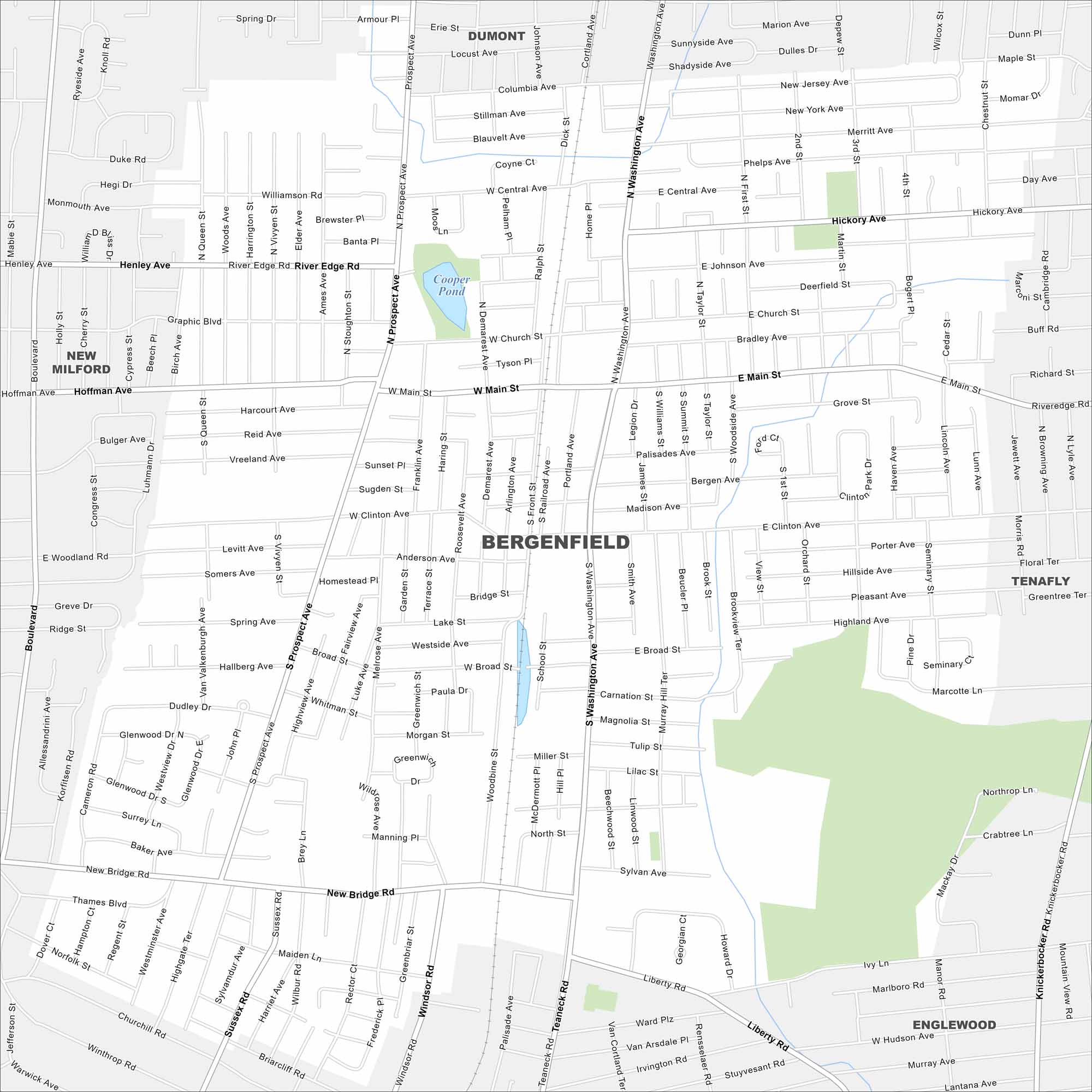
Want to explore Bergenfield? Use our map to explore this borough just outside New York City. Bergenfield is in northern New Jersey near the Hudson River. Our map lays out dense neighborhoods and local roadways.
Map Information
On the Map
Major Roads: Main St, Washington Ave, Clinton Ave, Liberty Rd, Prospect Ave, New Bridge Rd, Central Ave, River Edge Rd, Dumont Rd, Windsor Rd, Teaneck Rd, Knickerbocker Rd, Murray Hill Ter, Sylvan Ave, Highview Ave, Westside Ave, Broad St, Church St, Johnson Ave, Hickory Ave Lakes and Reservoirs: Cooper Pond Nearby Communities: Dumont, New Milford, Tenafly, EnglewoodNew Jersey State Maps
Explore maps from the Garden State.


City Maps of New Jersey
Newark and New Jersey cities in complete detail


