Map of Beverly Hills, California
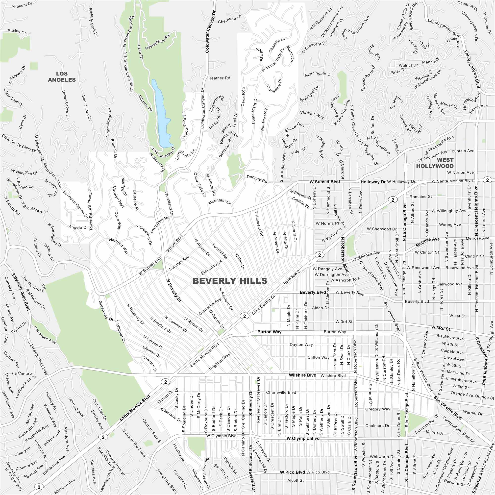
Explore Beverly Hills with our map west of Los Angeles. Palm-lined streets and landscaped neighborhoods fill the layout. The city is famous for Rodeo Drive but also its elegant residential areas.
California State Maps
Explore California with our state maps


Map Information
On the Map
Interstates/Highways: State Rte 2 Major Roads: Wilshire Blvd, Santa Monica Blvd, Sunset Blvd, Olympic Blvd, Beverly Dr, Doheny Dr, Robertson Blvd, La Cienega Blvd, Burton Way, Pico Blvd, Benedict Canyon Dr, Coldwater Canyon Dr, Canon Dr, Rexford Dr, Crescent Dr, Alpine Dr, Bedford Dr, Linden Dr, Roxbury Dr, Whittier Dr Nearby Communities: Los Angeles, West HollywoodCalifornia City Maps
Here are detailed maps of California


