Map of Brentwood, California
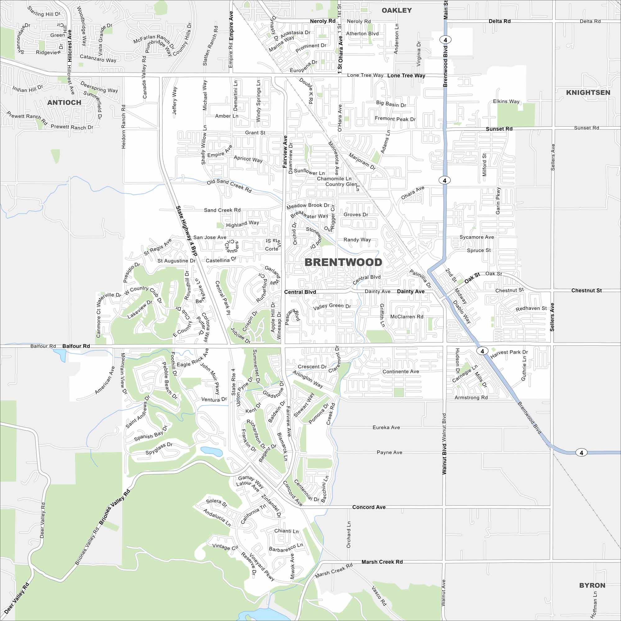
Brentwood is in the East Bay, surrounded by farmland. Our map shows its highways, waterways and green spaces. It’s grown fast relative to other areas.
California State Maps
Explore California with our state maps


Map Information
On the Map
Interstates/Highways: State Highway 4 Major Roads: Brentwood Blvd, Balfour Rd, Lone Tree Way, Sand Creek Rd, Walnut Blvd, Marsh Creek Rd, Delta Rd, Sellers Ave, O’Hara Ave, Empire Ave, Fairview Ave, Central Blvd, Dainty Ave, Chestnut St, Concord Ave, Vasco Rd, American Ave, Minnesota Ave, Griffith Ln, Sunset Rd Nearby Communities: Oakley, Knightsen, Byron, AntiochCalifornia City Maps
Here are detailed maps of California


