Map of Buena Park, California
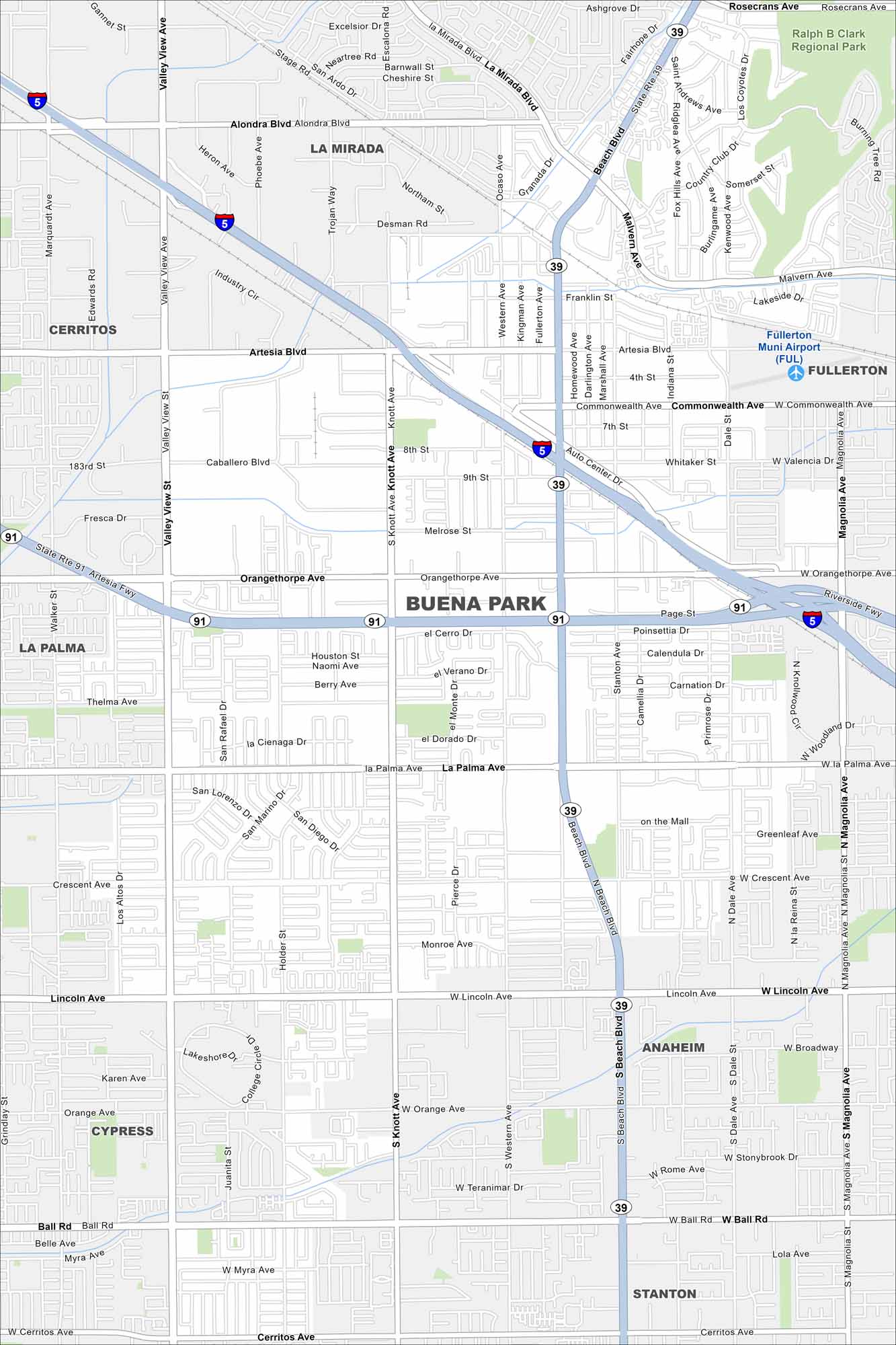
See the highways, streets, and park areas laid out here. Our map of Buena Park highlights its roads and open spaces. The city is known for Knott’s Berry Farm and its location in northern Orange County.
California State Maps
Explore California with our state maps


Map Information
On the Map
Interstates/Highways: I-5, State Rte 91 (Artesia Fwy), State Rte 39 Major Roads: Beach Blvd, Knott Ave, Valley View St, Orangethorpe Ave, La Palma Ave, Lincoln Ave, Commonwealth Ave, Artesia Blvd, Ball Rd, Rosecrans Ave, Alondra Blvd, Malvern Ave, Western Ave, Dale St, Magnolia Ave, Gilbert St, Stanton Ave, Walker St, Valley View Ave, Cerritos Ave Airports: Fullerton Muni Airport (FUL) Parks and Preserves: Ralph B Clark Regional Park Nearby Communities: La Mirada, Cerritos, La Palma, Fullerton, Anaheim, Cypress, StantonCalifornia City Maps
Here are detailed maps of California


