Map of Calexico, California
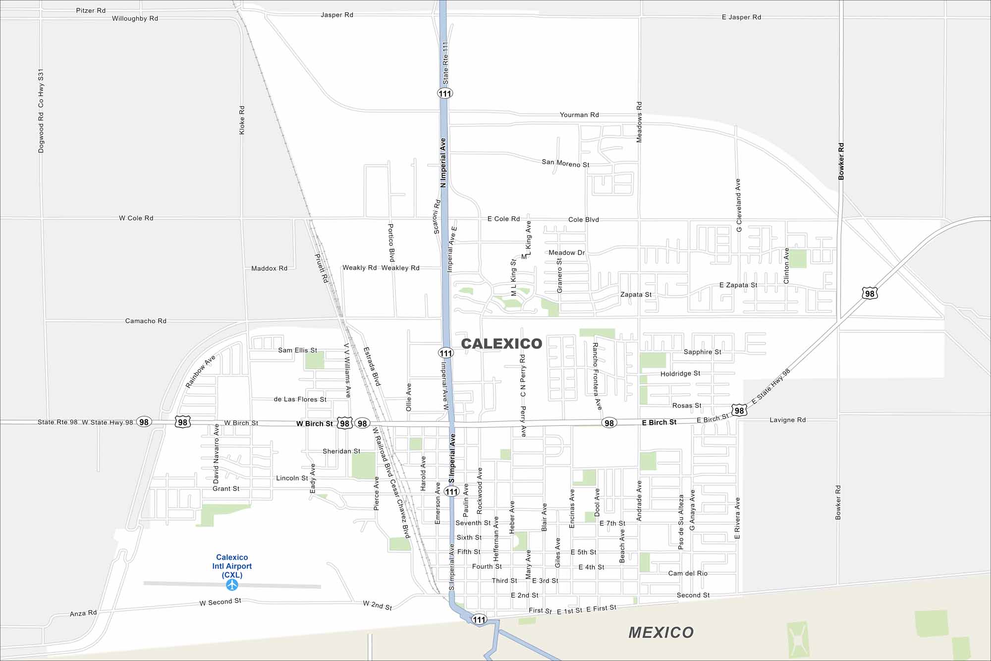
See Calexico on our map, right at the US and Mexico border. The city spreads out across the desert with a straightforward street network. It’s often called a “twin city” with Mexicali because of their close connection.
California State Maps
Explore California with our state maps


Map Information
On the Map
Interstates/Highways: State Hwy 111, State Hwy 98 Major Roads: Imperial Ave, Birch St, Cole Rd, 2nd St, Jasper Rd, Weakley Rd, Bowker Rd, Cesar Chavez Blvd, Willoughby Rd, Dogwood Rd, 1st St, 7th St, Portico Blvd, Encinas Ave, Heffernan Ave, Blair Ave, Mary Ave, Rockwood Ave, Paulin Ave, Emerson Ave Airports: Calexico Intl Airport (CXL) Nearby Communities: MexicoCalifornia City Maps
Here are detailed maps of California


