Map of Citrus Heights, California
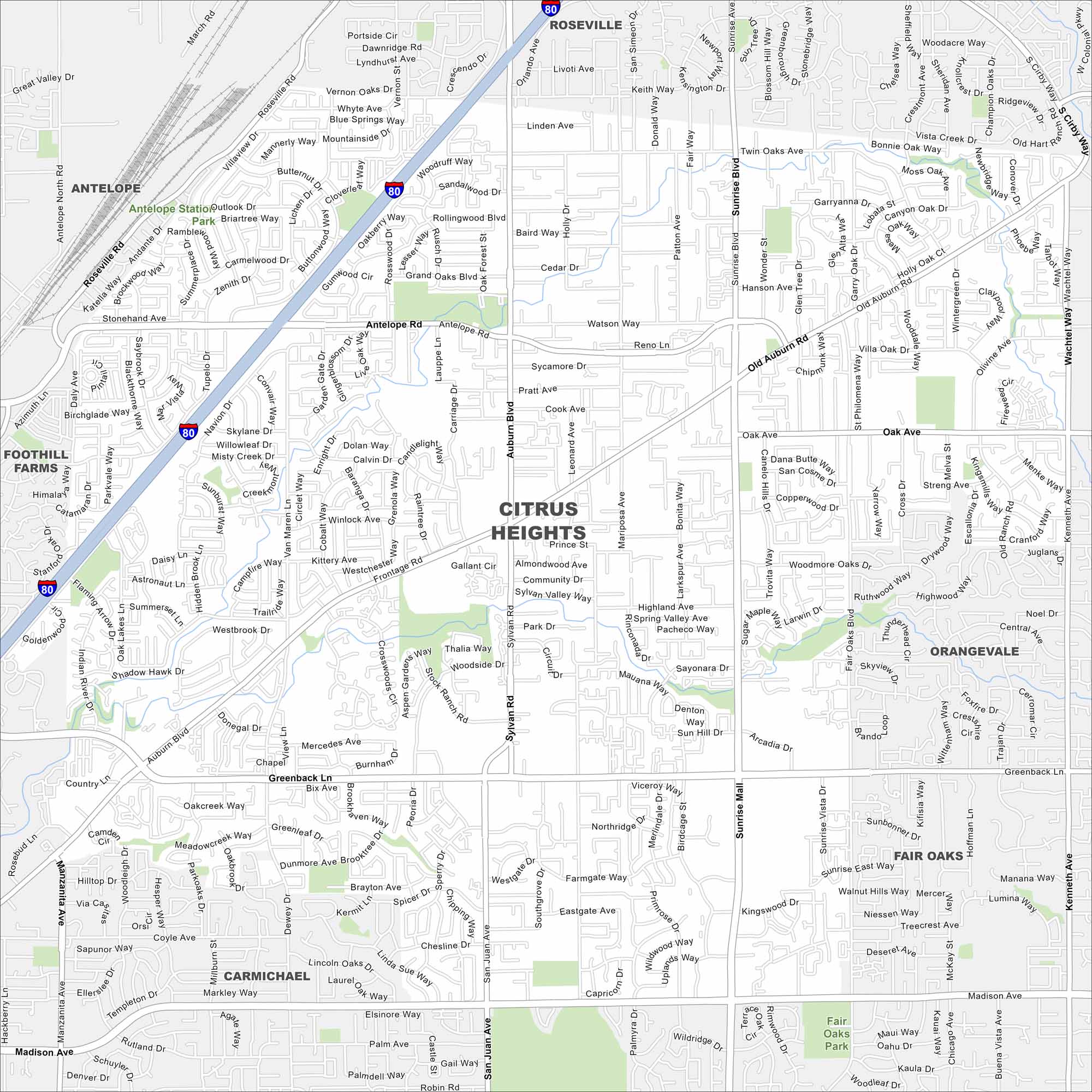
Here’s our map of Citrus Heights displaying its streets, railways, and neighborhoods. It’s part of a larger metro area because it’s just northeast of Sacramento.
California State Maps
Explore California with our state maps


Map Information
On the Map
Interstates/Highways: I-80 Major Roads: Sunrise Blvd, Greenback Ln, Auburn Blvd, Antelope Rd, Old Auburn Rd, San Juan Ave, Mariposa Ave, Sylvan Rd, Fair Oaks Blvd, Pratt Ave, Oak Ave, Lichen Dr, Van Maren Ln, Woodmore Oaks Dr, Wachtel Way, Sayonara Dr, Birdcage St, Farmgate Way, Kenneth Ave Nearby Communities: Roseville, Antelope, Foothill Farms, Carmichael, Fair Oaks, OrangevaleCalifornia City Maps
Here are detailed maps of California


