Map of Claremont, California
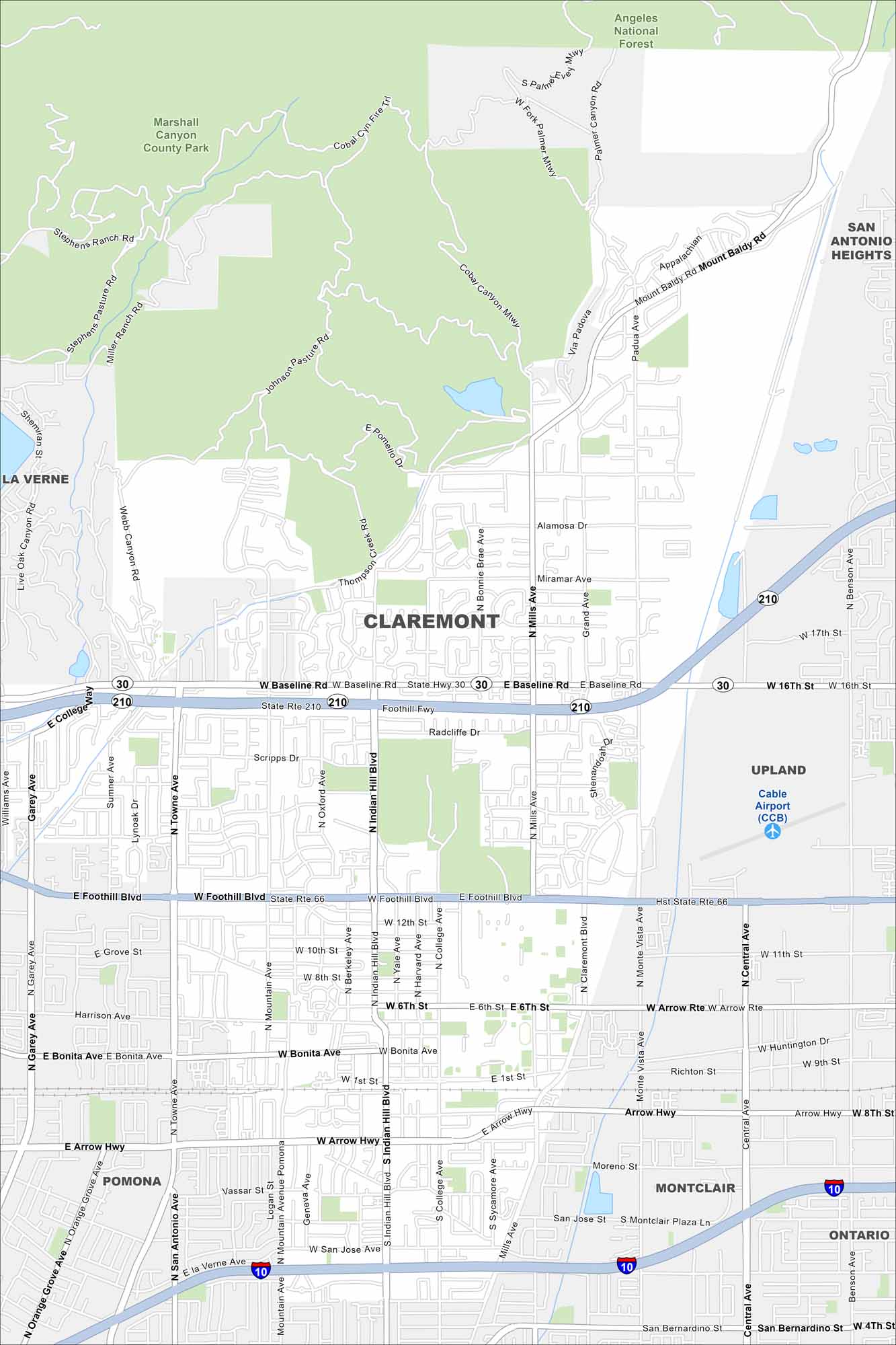
Look at our Claremont map showing its highways and park space. This city sits at the base of the San Gabriel Mountains with tons of tree-shaded streets.
California State Maps
Explore California with our state maps


Map Information
On the Map
Interstates/Highways: I-10, State Hwy 30, State Rte 210, State Rte 66 Major Roads: Baseline Rd, Foothill Blvd, Arrow Hwy, Bonita Ave, Arrow Rte, Indian Hill Blvd, Mills Ave, Towne Ave, Mountain Ave, College Ave, Yale Ave, Harvard Ave, Berkeley Ave, Oxford Ave, Cambridge Ave, San Jose Ave, Miramar Ave, Alamosa Dr, Radcliffe Dr, Sycamore Ave Airports: Cable Airport (CCB) Lakes and Reservoirs: Angeles National Forest, Marshall Canyon County Park Nearby Communities: La Verne, Pomona, Montclair, Upland, San Antonio HeightsCalifornia City Maps
Here are detailed maps of California


