Map of Clearlake, California
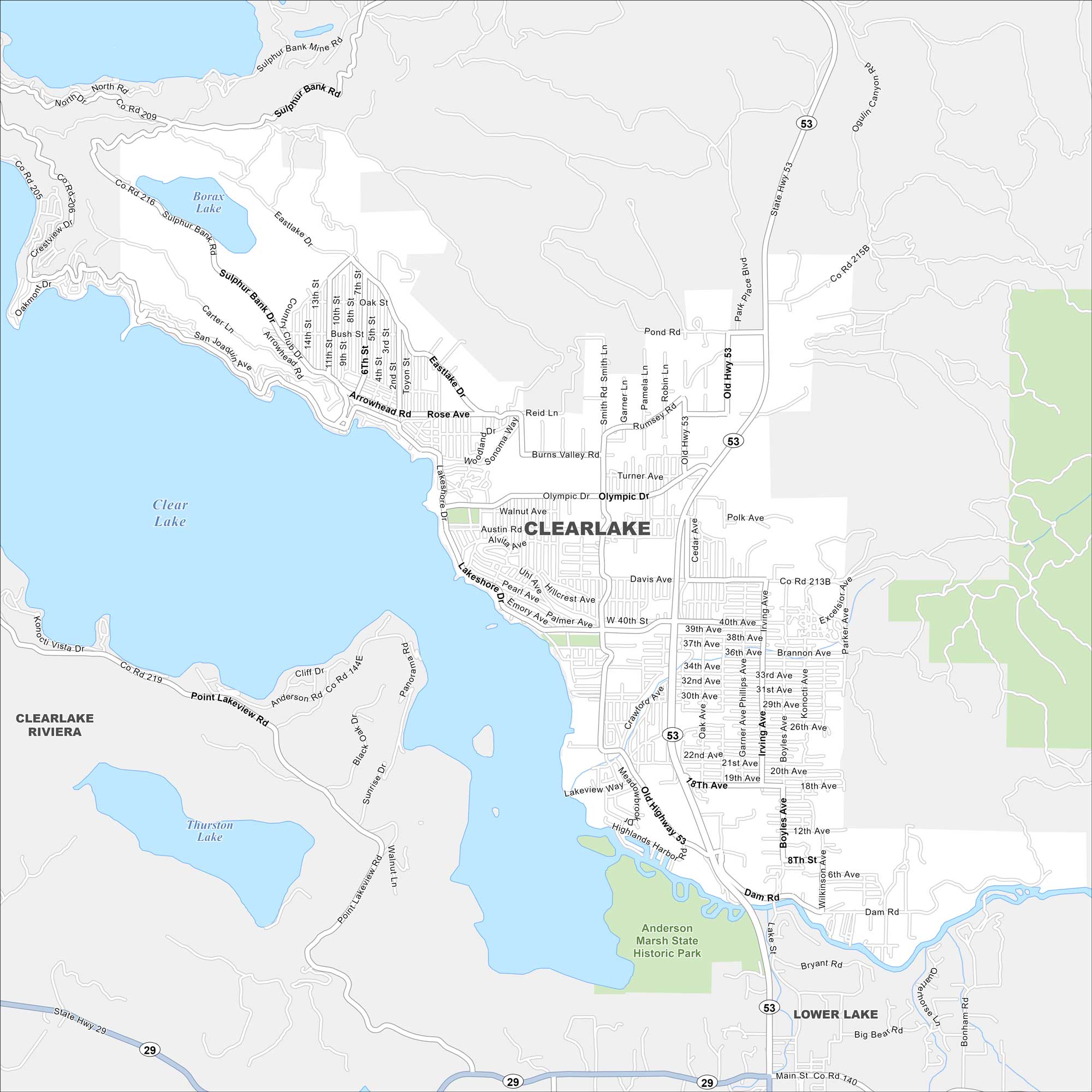
Clearlake spreads along the shoreline of Clear Lake, where Lakeshore Drive hugs the water. Hills and vineyards frame the area. But the highlight here is how the city wraps around Clear Lake, the largest natural lake in California.
California State Maps
Explore California with our state maps


Map Information
On the Map
Interstates/Highways: State Hwy 53, State Hwy 29 Major Roads: Lakeshore Dr, Olympic Dr, Dam Rd, Old Highway 53, Austin Rd, 18th Ave, 40th St, Burns Valley Rd, Sulphur Bank Dr, Arrowhead Rd, Boyles Ave, Highlands Harbor Rd, Pearl Ave, Emory Ave, Crawford Ave, Davis Ave, Polk Ave, Lakeview Way, Point Lakeview Rd, Cache Creek Lakes and Reservoirs: Clear Lake, Borax Lake, Thurston Lake Parks and Preserves: Anderson Marsh State Historic Park Nearby Communities: Lower Lake, Clearlake RivieraCalifornia City Maps
Here are detailed maps of California


