Map of Colton, California
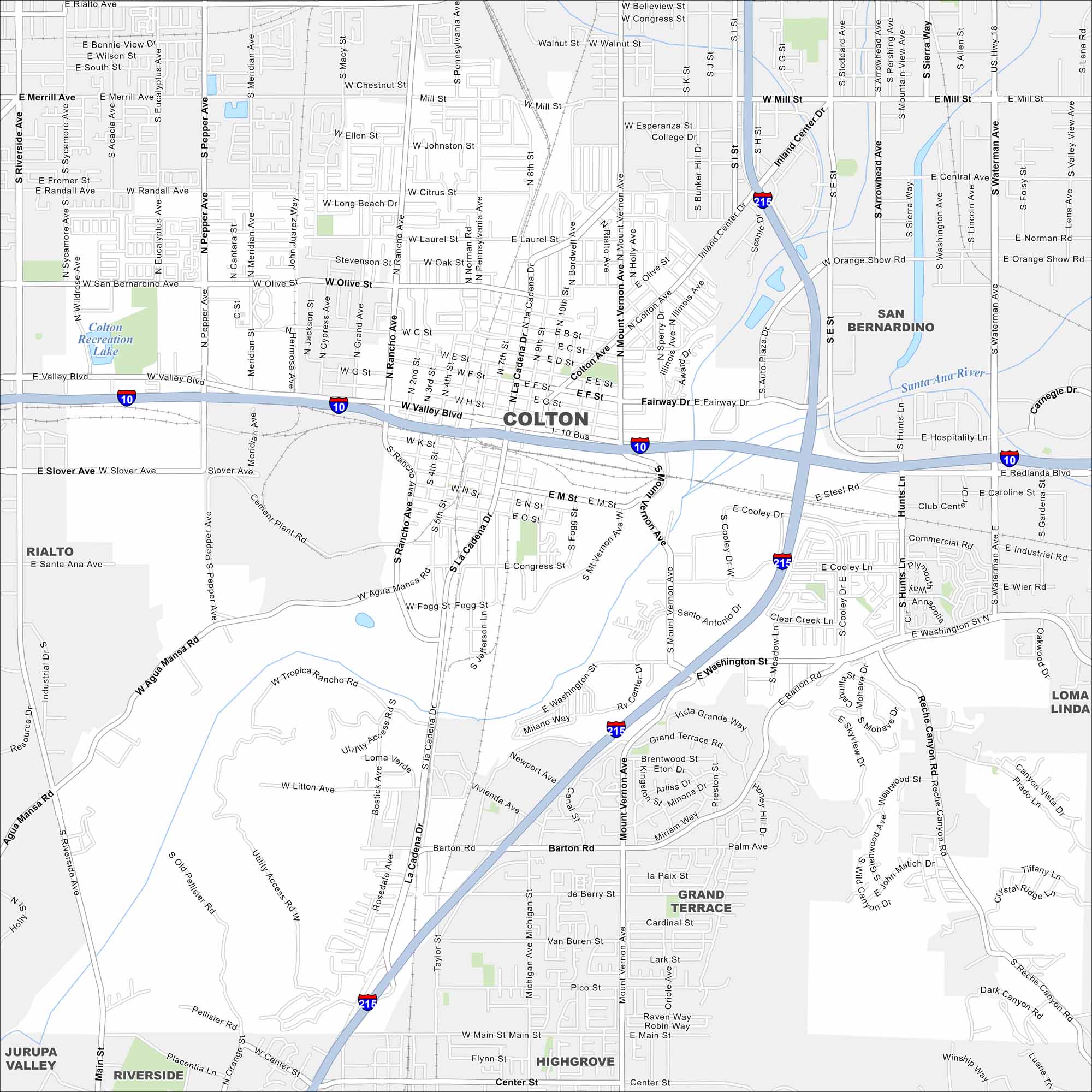
Here’s our map of Colton with its roads, waterways, and rail lines. This city is part of the Inland Empire but it’s long been a crossroads for trains and transport. The Santa Ana River also runs nearby.
California State Maps
Explore California with our state maps


Map Information
On the Map
Interstates/Highways: I-10, I-215 Major Roads: Valley Blvd, La Cadena Dr, Mt Vernon Ave, Washington St, Mill St, Colton Ave, Ninth St, Seventh St, Rancho Ave, Pepper Ave, Riverside Ave, Agua Mansa Rd, Slover Ave, Reche Canyon Rd, Hunts Ln, Waterman Ave, Barton Rd, Michigan Ave, Main St, Center St Lakes and Reservoirs: Colton Recreation Lake Major Rivers: Santa Ana River Nearby Communities: San Bernardino, Rialto, Loma Linda, Grand Terrace, Riverside, Highgrove, Jurupa ValleyCalifornia City Maps
Here are detailed maps of California


