Map of Cookeville, Tennessee
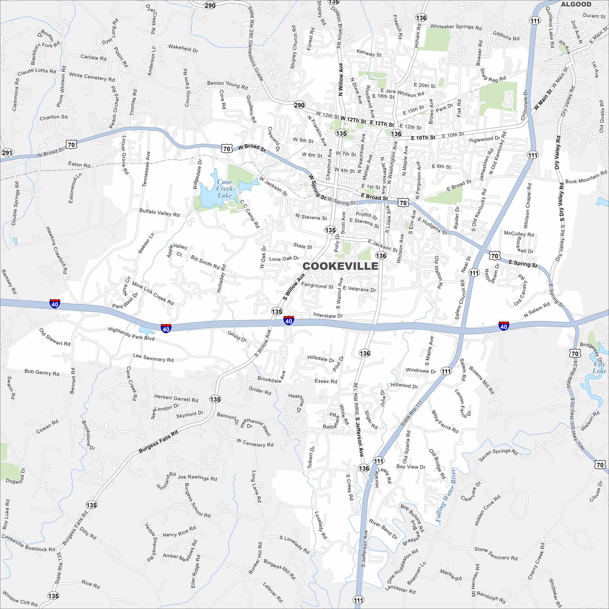
Our map of Cookeville highlights its streets, waterways, and nearby parks. In the Upper Cumberland region, the city is surrounded by waterfalls and rolling hills. It’s a gateway to outdoor recreation on Center Hill Lake.
Map Information
On the Map
Interstates/Highways: I-40, US Hwy 70, State Rte 111, State Rte 135, State Rte 136, State Rte 290, State Rte 24 Major Roads: Jefferson Ave, Willow Ave, Washington Ave, Broad St, Spring St, 10th St, 12th St, 15th St, 20th St, Burgess Falls Rd, Neal St, Old Walton Rd, Bunker Hill Rd, Pippin Rd, Gainesboro Grade, Dry Valley Rd, Buck Mountain Rd, Salem Church Rd, Shipley Church Rd, Dodson Branch Rd Lakes and Reservoirs: Cane Creek Lake, City Lake Major Rivers: Falling Water River Nearby Communities: AlgoodTennessee State Maps
Here are our state maps of Tennessee.


City Maps of Tennessee
Explore our Tennessee map collection


