Map of Cypress, California
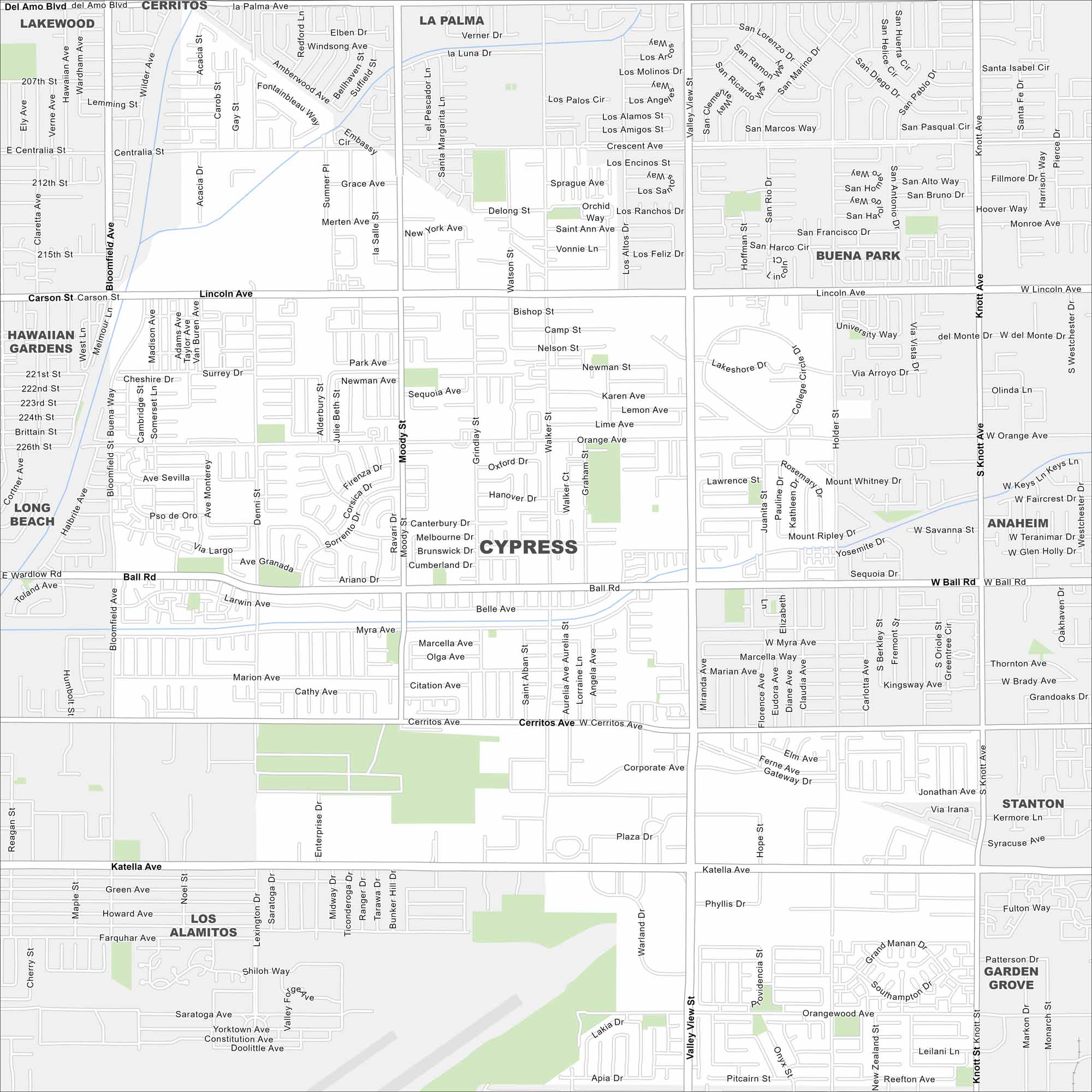
Cypress is shown on our map with its roads, highways, and park spaces. This Orange County suburb lies between Long Beach and Anaheim. Freeways connect it quickly to the coast.
California State Maps
Explore California with our state maps


Map Information
On the Map
Major Roads: Valley View St, Knott Ave, Katella Ave, Ball Rd, Cerritos Ave, Lincoln Ave, Walker St, Moody St, Bloomfield Ave, Centralia St, Del Amo Blvd, Carson St, Denni St, Graham St, Hope St, Lexington Dr, Enterprise Dr, Holder St, Siboney St, Myra Ave Nearby Communities: Cerritos, La Palma, Buena Park, Hawaiian Gardens, Long Beach, Stanton, Anaheim, Los Alamitos, Garden GroveCalifornia City Maps
Here are detailed maps of California


