Map of Danville, California
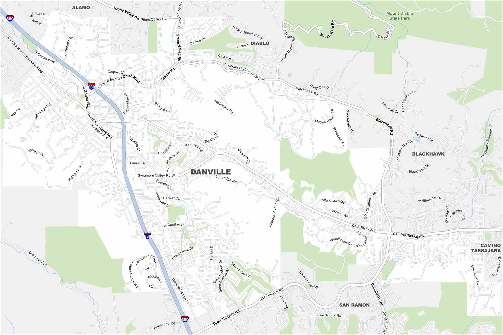
See Danville’s roads, highways, and open green spaces on our map. Tucked in the San Ramon Valley, it’s close to Mount Diablo. Parks and trails thread right through the community.
California State Maps
Explore California with our state maps


Map Information
On the Map
Interstates/Highways: I-680 Major Roads: Camino Tassajara, Sycamore Valley Rd, Blackhawk Rd, Crow Canyon Rd, Diablo Rd, Danville Blvd, Hartz Ave, Green Valley Rd, La Gonda Way, San Ramon Valley Blvd, Lawrence Rd, El Cerro Blvd, El Capitan Dr, Brookside Dr, Highland Dr, Paraiso Dr, Everett Dr, Laurel Dr, Montair Dr, Railroad Ave Parks and Preserves: Mount Diablo State Park Nearby Communities: Alamo, Diablo, Blackhawk, San Ramon, Camino TassajaraCalifornia City Maps
Here are detailed maps of California


