Map of DeForest, Wisconsin
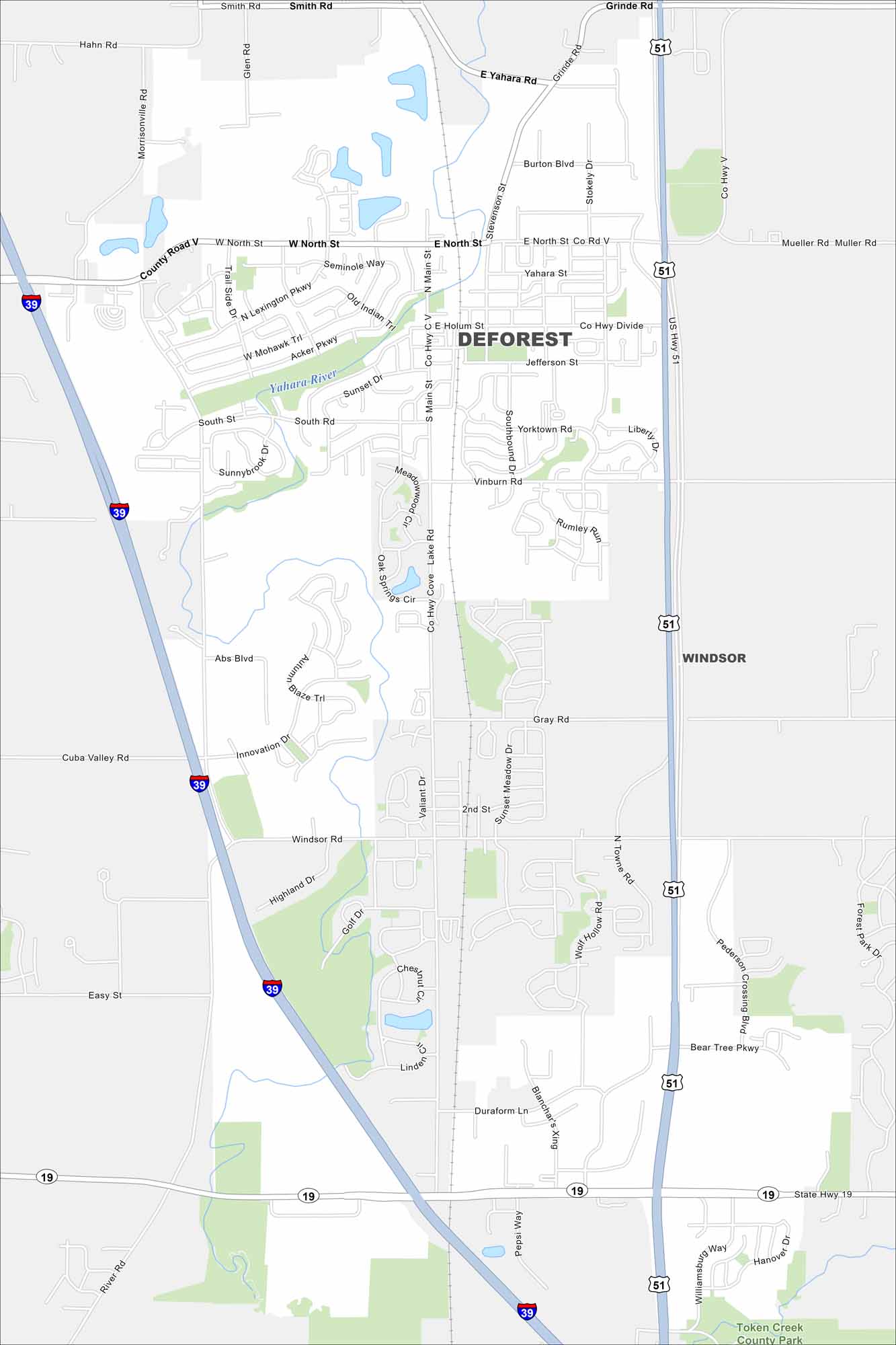
Our map of DeForest shows its highways, smaller roads, and nearby rivers. Just north of Madison, the village is surrounded by farmland. The Yahara River winds directly through the community.
Map Information
On the Map
Interstates/Highways: I-39, US Hwy 51, State Rte 19 Major Roads: Main St, North St, Holum St, Yahara St, Vinburn Rd, Windsor Rd, Highland Dr, Stevenson St, River Rd, Grinde Rd, Mueller Rd, Morrisonville Rd, Acker Pkwy, Innovation Dr, Gray Rd, Bear Tree Pkwy, Pederson Crossing Blvd, Token Creek Ln, Pepsi Way, Williamsburg Way Major Rivers: Yahara River Parks and Preserves: Token Creek County Park Nearby Communities: WindsorWisconsin State Maps
Discover maps of the Badger State.


City Maps of Wisconsin
See our Wisconsin maps designed for clarity.


