Map of Diamond Bar, California
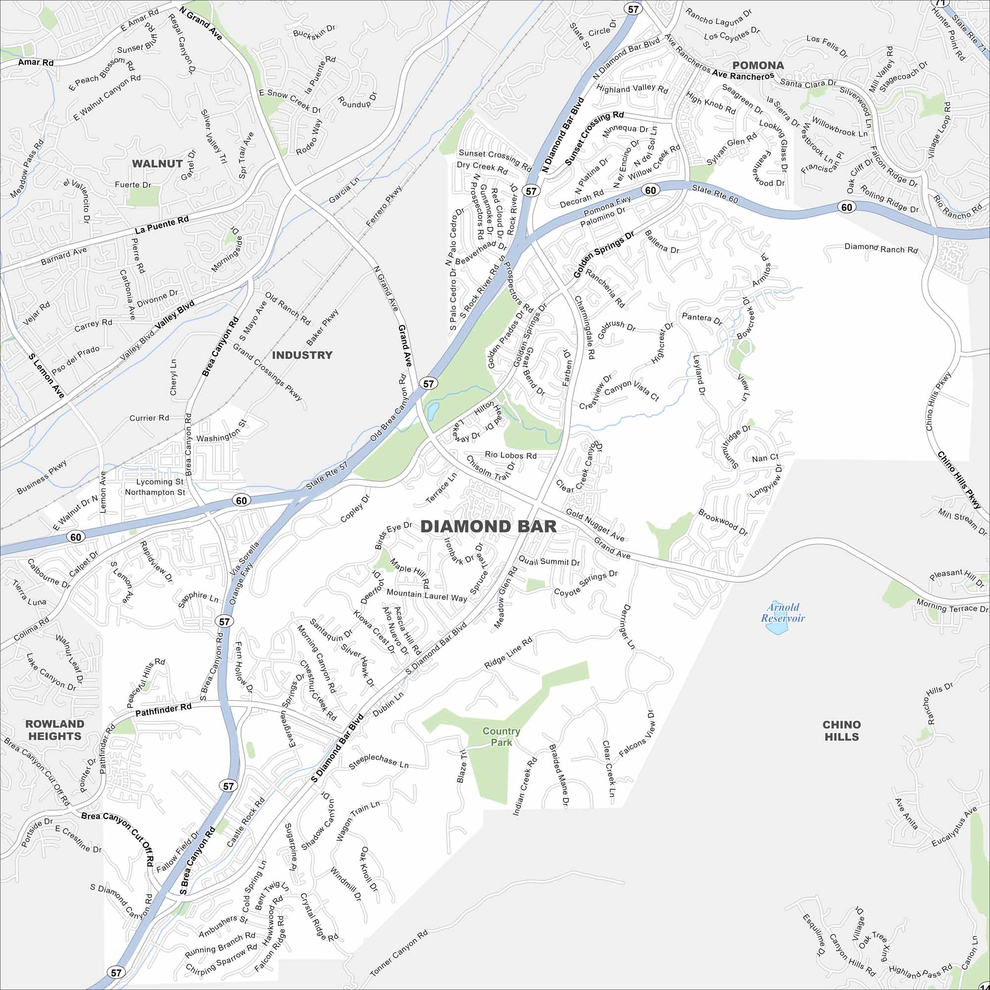
Explore our map of Diamond Bar in eastern Los Angeles County. Freeways intersect here, surrounded by rolling hills and suburban neighborhoods. Its location marks the edge of the Inland Empire.
California State Maps
Explore California with our state maps


Map Information
On the Map
Interstates/Highways: State Rte 57, State Rte 60 Major Roads: Diamond Bar Blvd, Grand Ave, Brea Canyon Rd, Golden Springs Dr, Pathfinder Rd, Lycoming St, Sunset Crossing Rd, Palomino Dr, Rancheria Rd, Prospectors Rd, High Knob Rd, Ridge Line Rd, Castle Rock Rd, Fallow Field Dr, Tonner Canyon Rd, Chino Hills Pkwy, Longview Dr, Summitridge Dr, Quail Summit Dr, Pantera Dr Lakes and Reservoirs: Arnold Reservoir Nearby Communities: Walnut, Industry, Pomona, Rowland Heights, Chino HillsCalifornia City Maps
Here are detailed maps of California


