Map of East Orange, New Jersey
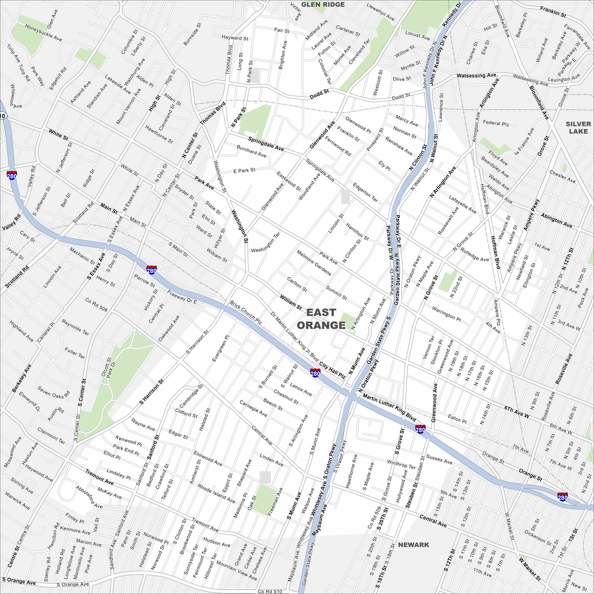
Explore East Orange in northern New Jersey, just west of Newark. The grid of streets links quickly into the Garden State Parkway. Its location makes it a hub between Newark and New York City.
Map Information
On the Map
Interstates/Highways: I-280 Major Roads: Garden State Pkwy, Oraton Pkwy, Main St, Central Ave, Park Ave, Dr Martin Luther King Jr Blvd, Dodd St, Springdale Ave, Tremont Ave, Rhode Island Ave, Sanford St, Clinton St, Arlington Ave, Walnut St, Prospect St, Harrison St, Glenwood Ave, Evergreen Pl, Munn Ave, Grove St Nearby Communities: Glen Ridge, Silver Lake, NewarkNew Jersey State Maps
Explore maps from the Garden State.


City Maps of New Jersey
Newark and New Jersey cities in complete detail


