Map of Eastvale, California
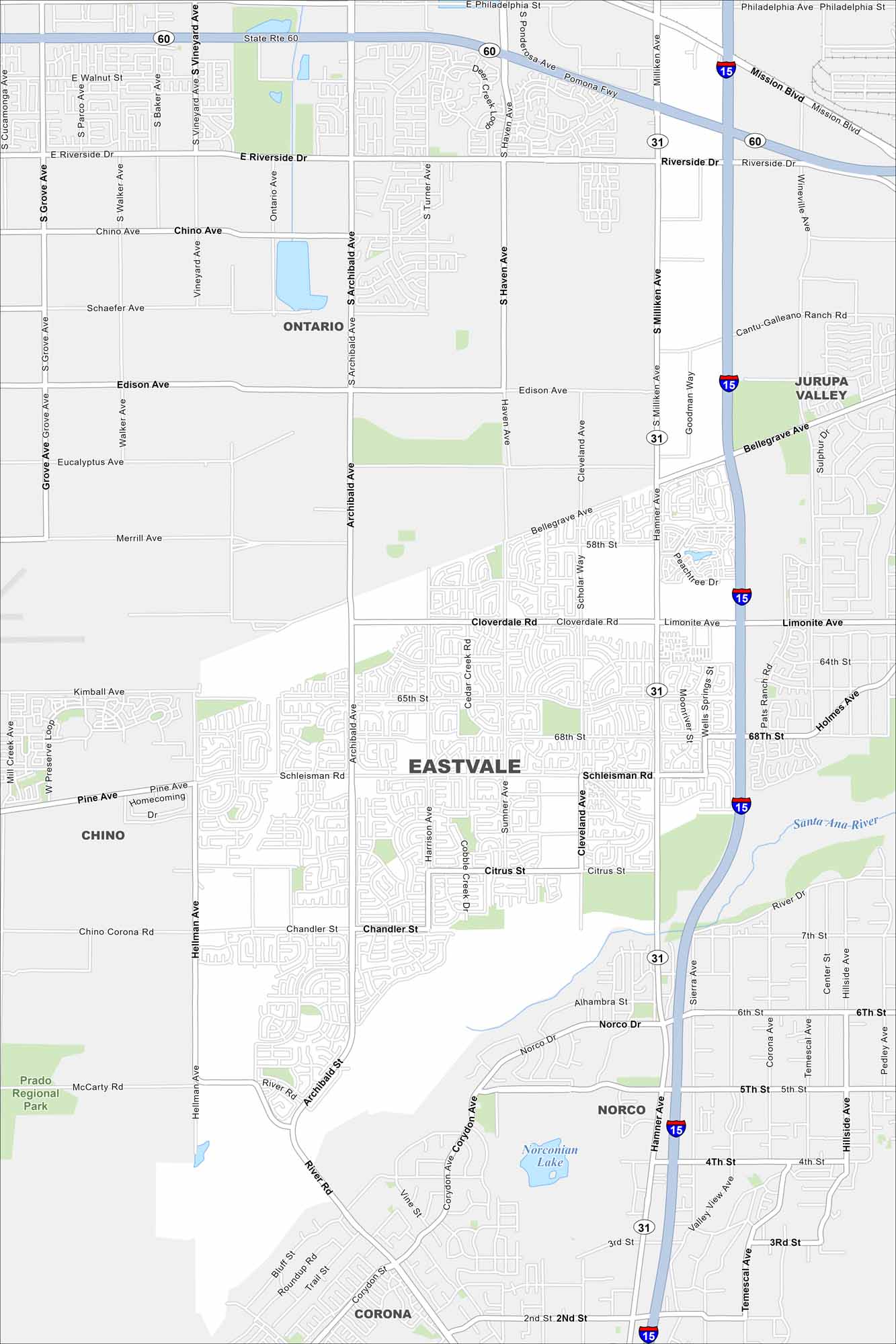
Check out Eastvale in the Inland Empire. Our map shows its neighborhoods spread out between the Santa Ana River and nearby freeways. It’s one of Southern California’s newer and fast-growing cities.
California State Maps
Explore California with our state maps


Map Information
On the Map
Interstates/Highways: I-15, 60 Major Roads: Limonite Ave, Archibald Ave, Hamner Ave, Riverside Dr, Chino Ave, Schleisman Rd, Hellman Ave, Citrus St, Chandler St, Cantu-Galleano Ranch Rd, Cloverdale Rd, Scholar Way, Harrison Ave, Cleveland Ave, Sumner Ave, 68th St, Bellegrave Ave, Edison Ave, Schaefer Ave, Merrill Ave Lakes and Reservoirs: Norconian Lake Major Rivers: Santa Ana River Parks and Preserves: Prado Regional Park Nearby Communities: Ontario, Jurupa Valley, Chino, Norco, CoronaCalifornia City Maps
Here are detailed maps of California


