Map of Emeryville, California
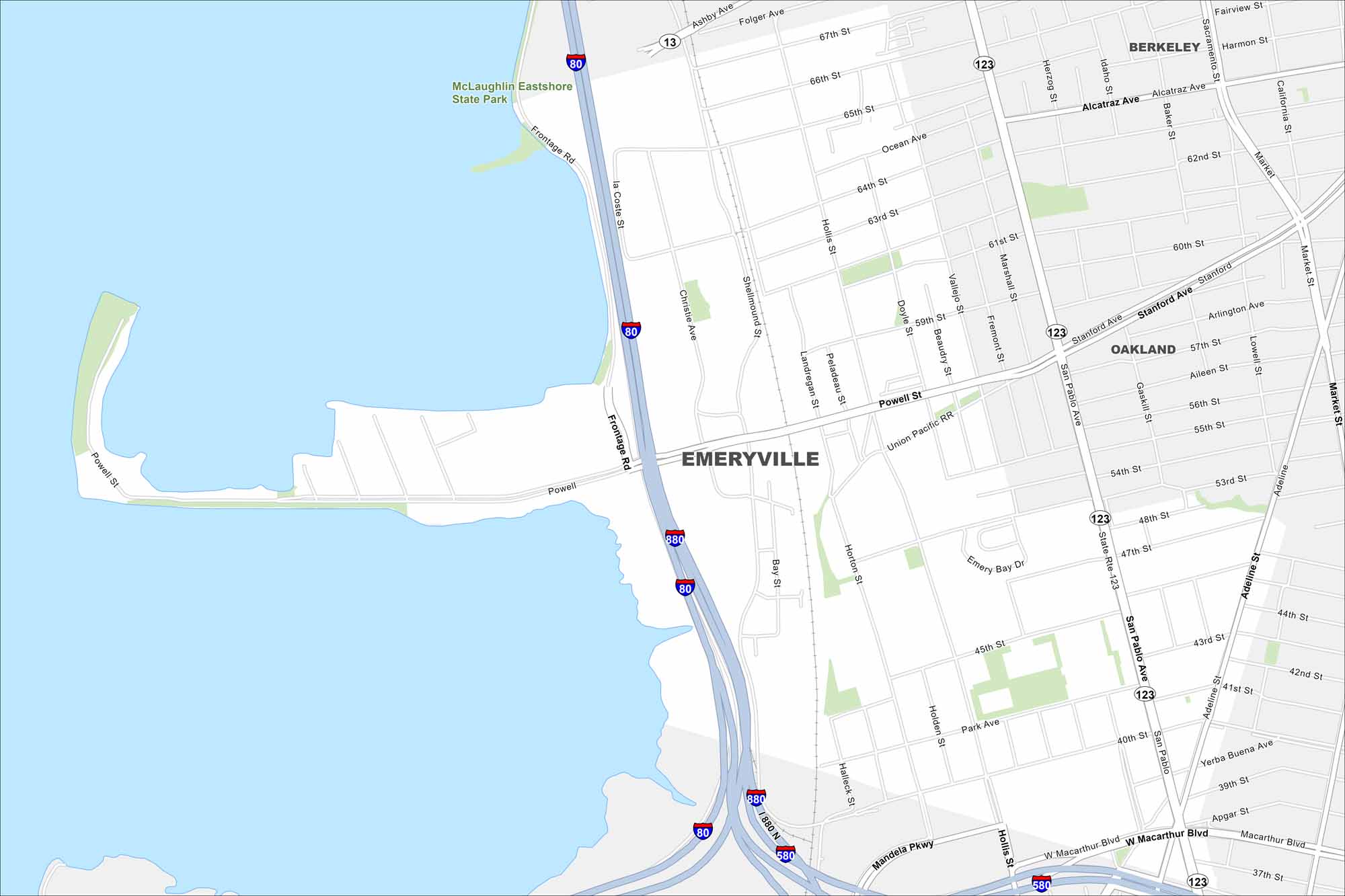
Emeryville is located between Oakland and Berkeley along I-80. The city borders the San Francisco Bay with views of the Bay Bridge. It’s known for its smallish size and waterfront location.
California State Maps
Explore California with our state maps


Map Information
On the Map
Interstates/Highways: I-80, I-880, I-580, State Rte 123, State Rte 13 Major Roads: San Pablo Ave, Powell St, Stanford Ave, MacArthur Blvd, Ashby Ave, Hollis St, Shellmound St, Mandela Pkwy, Adeline St, Park Ave, 40th St, Market St, Yerba Buena Ave, 65th St, 60th St, Alcatraz Ave, Christie Ave, Horton St, 45th St, 53rd St Lakes and Reservoirs: Santa Monica Bay Parks and Preserves: McLaughlin Eastshore State Park Nearby Communities: Berkeley, OaklandCalifornia City Maps
Here are detailed maps of California


