Map of Encinitas, California
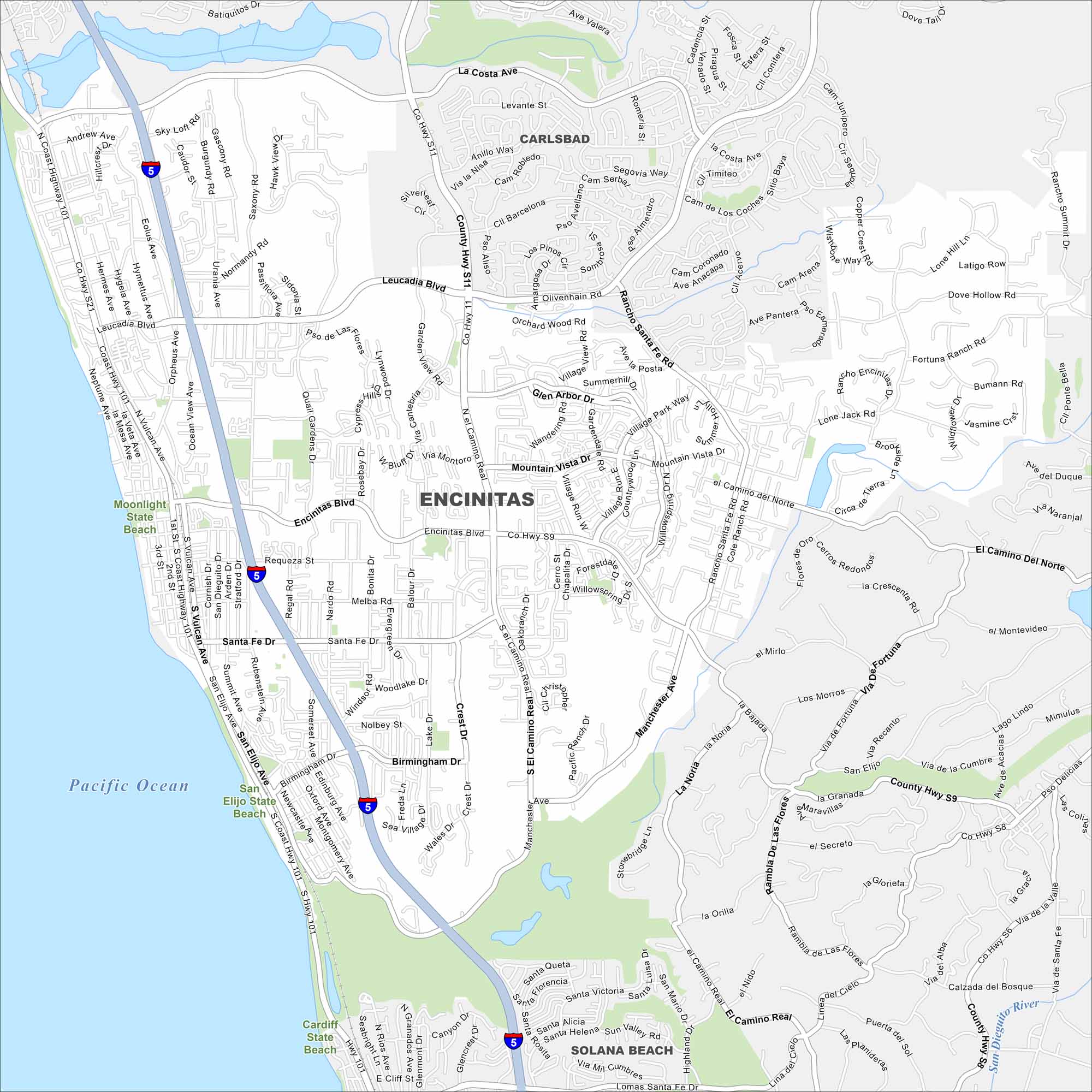
Our map of Encinitas puts it on the Pacific shoreline north of San Diego. While beaches line the coastline, parks and waterways fill the rest.
California State Maps
Explore California with our state maps


Map Information
On the Map
Interstates/Highways: I-5, State Rte 101 Major Roads: Encinitas Blvd, El Camino Real, Coast Highway 101, Santa Fe Dr, Birmingham Dr, Manchester Ave, Leucadia Blvd, Olivenhain Rd, Rancho Santa Fe Rd, Vulcan Ave, San Elijo Ave, Garden View Rd, Via de la Valle, La Costa Ave, Quail Gardens Dr, Crest Dr, Nardo Rd, Melba Rd, Mackinnon Ave, Lake Dr Lakes and Reservoir: Pacific Ocean Nearby Communities: Carlsbad, Solana BeachCalifornia City Maps
Here are detailed maps of California


