Map of Fontana, California
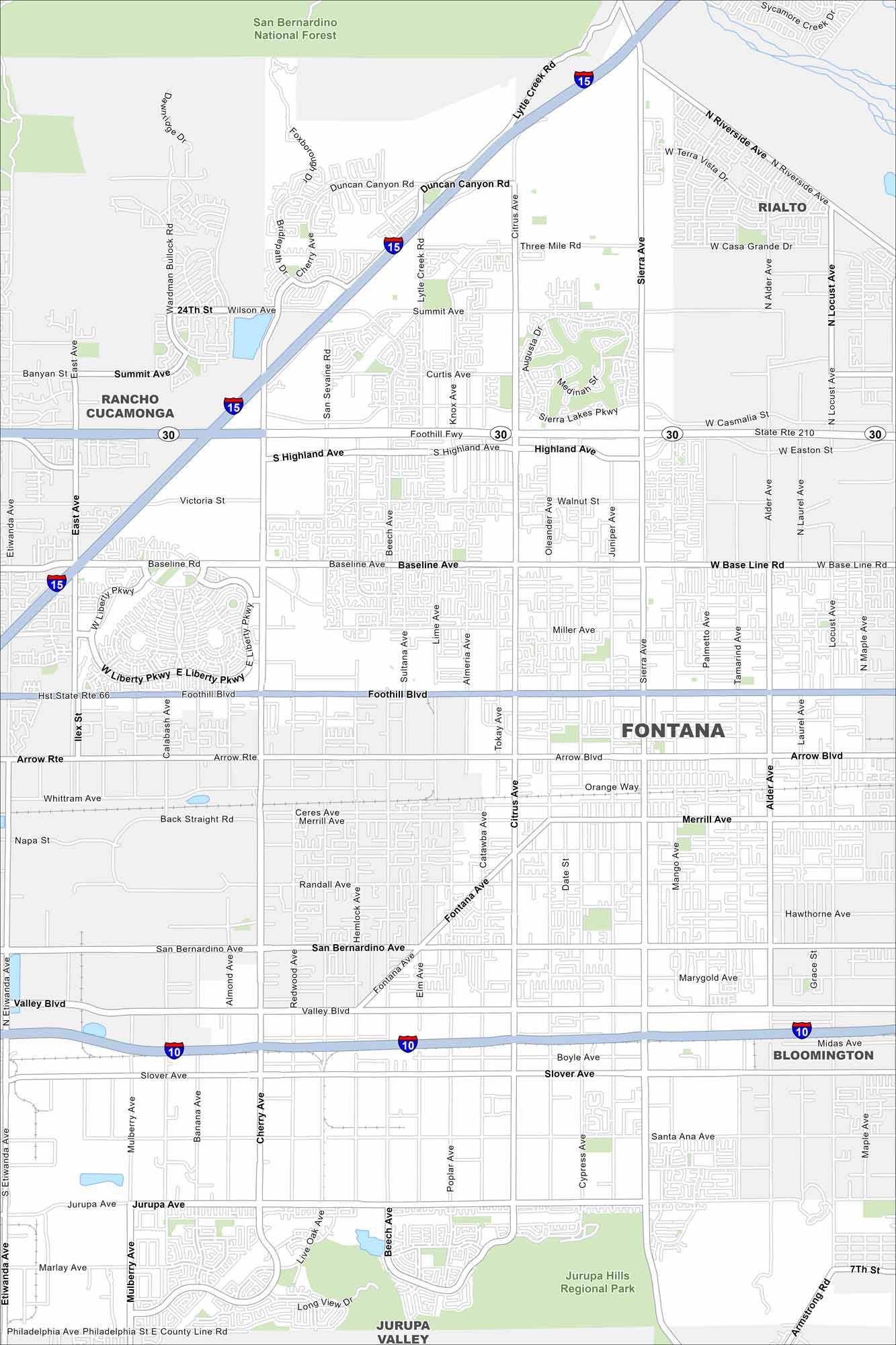
Our map of Fontana shows it in the Inland Empire at the foot of the San Bernardino Mountains. Wide neighborhoods stretch out across the valley. Peaks rise just to the north.
California State Maps
Explore California with our state maps


Map Information
On the Map
Interstates/Highways: I-15, I-10, State Rte 210, State Rte 66 Major Roads: Foothill Blvd, Baseline Ave, Sierra Ave, Summit Ave, Citrus Ave, Cherry Ave, Valley Blvd, San Bernardino Ave, Jurupa Ave, Arrow Rte, Merrill Ave, Sloane Ave, Beech Ave, Lytle Creek Rd, Etiwanda Ave, Mulberry Ave, Fontana Ave, Alder Ave, Locust Ave, Riverside Ave Parks and Preserves: San Bernardino National Forest, Jurupa Hills Regional Park Nearby Communities: Rancho Cucamonga, Rialto, Bloomington, Jurupa ValleyCalifornia City Maps
Here are detailed maps of California


