Map of Fort Lee Borough, New Jersey
Fort Lee rises just across the Hudson River from Manhattan. Steep cliffs form the Palisades along its edge. And of course, the George Washington Bridge makes it a true landmark spot.
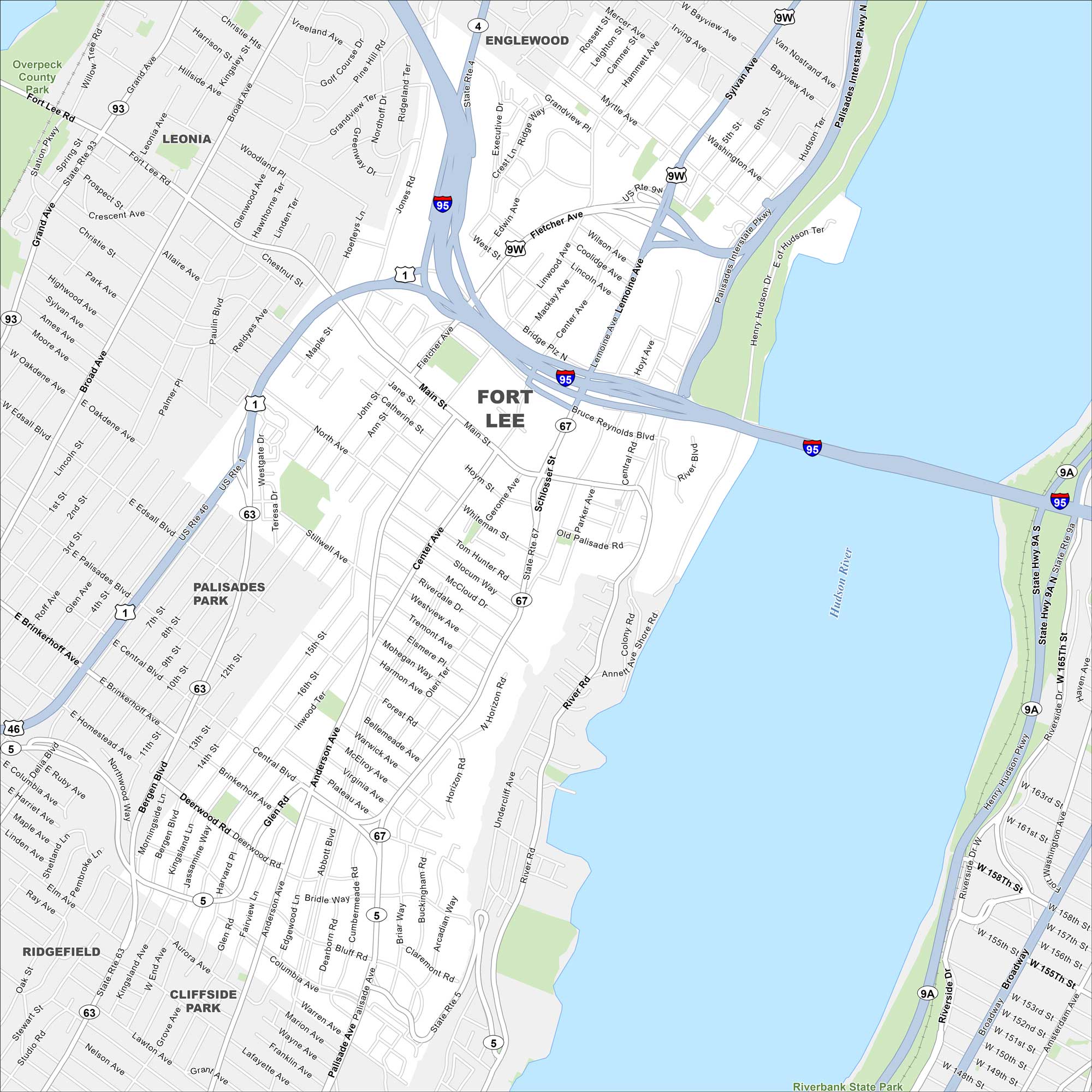
Map Information
On the Map
Interstates/Highways: I-95, I-80, US Hwy 1, US Hwy 9, State Rte 4, State Rte 5, State Rte 63, State Rte 67 Major Roads: Main St, Lemoine Ave, Palisade Ave, Linwood Ave, Center Ave, Anderson Ave, Bridge Plz, Fletcher Ave, Bruce Reynolds Blvd, Central Rd, River Rd, Abbott Blvd, Bergen Blvd, Hudson Ter, Sylvan Ave, Gerome Ave, Schlosser St, Parker Ave, Jones Rd, Edwin Ave Major Rivers: Hudson River Parks and Preserves: Overpeck County Park, Riverbank State Park Nearby Communities: Englewood, Leonia, Palisades Park, Cliffside Park, RidgefieldNew Jersey State Maps
Explore maps from the Garden State.


City Maps of New Jersey
Newark and New Jersey cities in complete detail


