Map of Fountain Valley, California
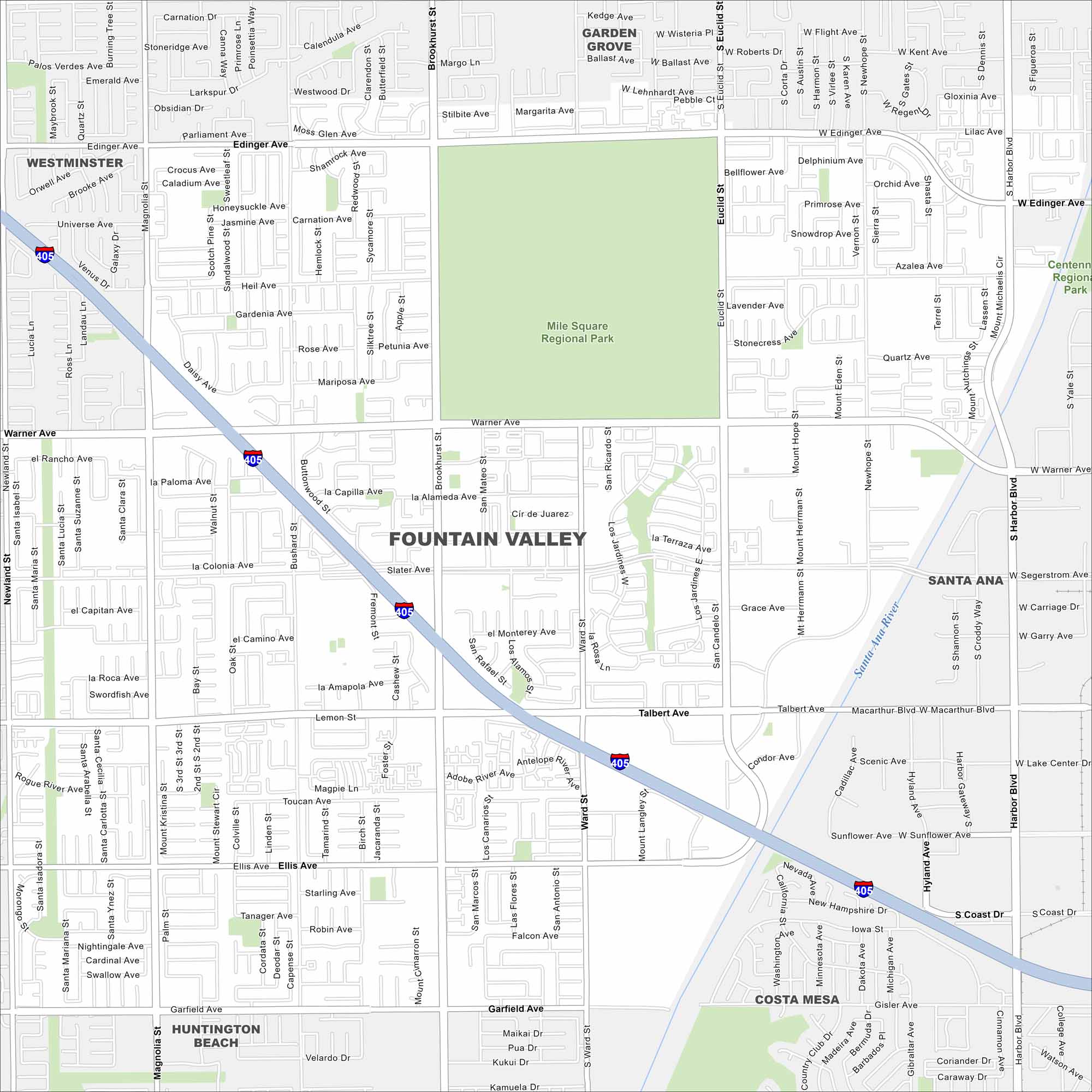
Explore our map of Fountain Valley, where you’ll spot the Santa Ana River on the eastern edge. Streets connect neatly to the nearby I-405 corridor. It’s set right in the middle of coastal Orange County.
California State Maps
Explore California with our state maps


Map Information
On the Map
Interstates/Highways: I-405, San Diego Fwy Major Roads: Harbor Blvd, Brookhurst St, Warner Ave, Edinger Ave, Talbert Ave, Ellis Ave, Garfield Ave, Magnolia St, Euclid St, Bushard St, Ward St, Newhope St, Slater Ave, Heil Ave, Segerstrom Ave, MacArthur Blvd, Sunflower Ave, Coast Dr, Gisler Ave Major Rivers: Santa Ana River Parks and Preserves: Mile Square Regional Park, Centennial Regional Park Nearby Communities: Garden Grove, Santa Ana, Costa Mesa, Huntington Beach, WestminsterCalifornia City Maps
Here are detailed maps of California


