Map of Westminster, California
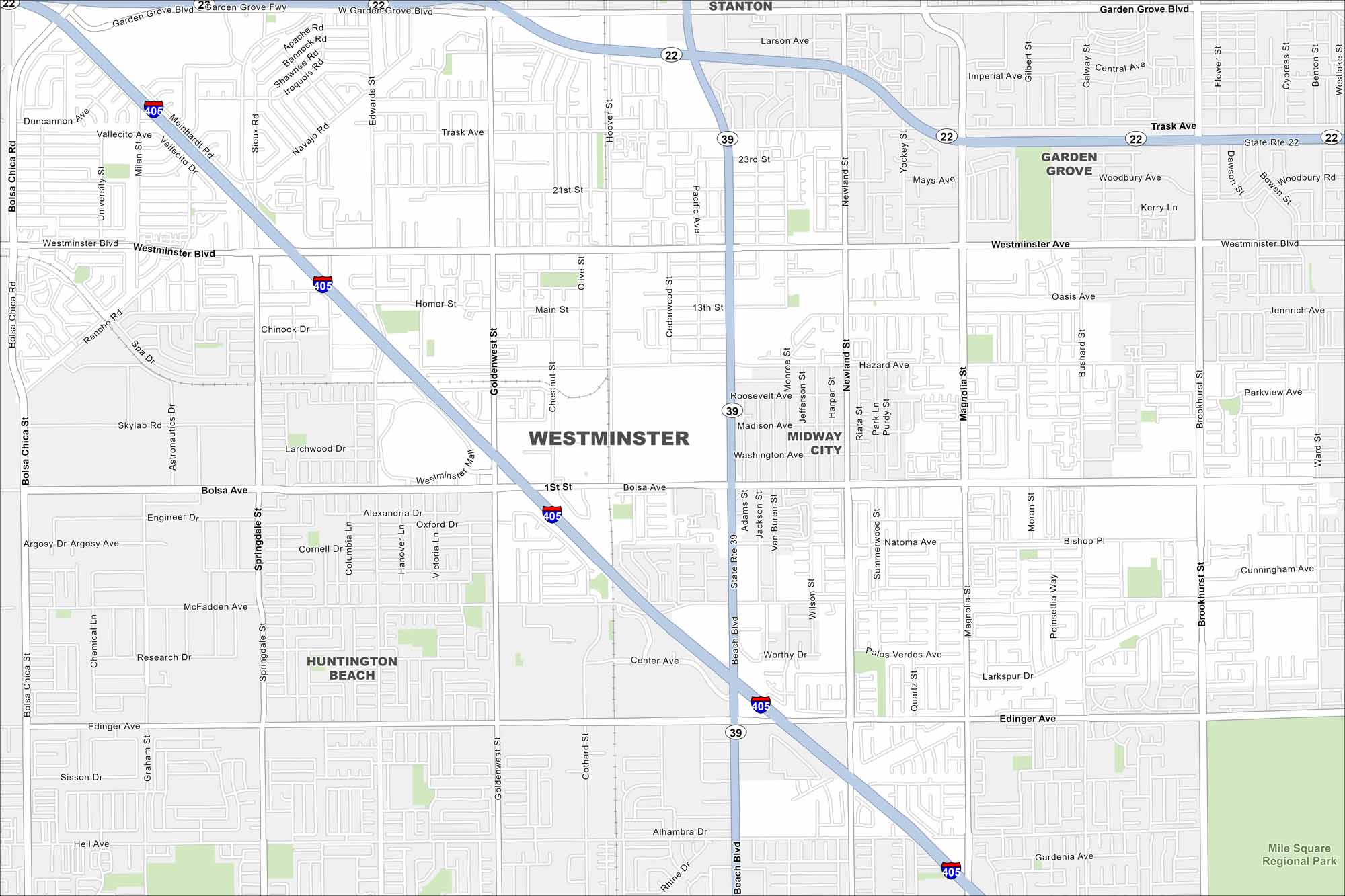
We’ve mapped out every major road in Westminster, California. Known for Little Saigon in the east, it’s a cultural hub in Orange County.
California State Maps
Explore California with our state maps


Map Information
On the Map
Interstates/Highways: I-405, State Rte 22, State Rte 39 Major Roads: Beach Blvd, Westminster Blvd, Bolsa Ave, Goldenwest St, Brookhurst St, Garden Grove Blvd, Edinger Ave, McFadden Ave, Magnolia St, Springdale St, Newland St, Trask Ave, Ward St, Main St, Bushard St, Edwards St, Knott St, Bolsa Chica St, Graham St Parks and Preserves: Mile Square Regional Park Nearby Communities: Garden Grove, Huntington Beach, Midway City, StantonCalifornia City Maps
Here are detailed maps of California


