Map of Grafton, Wisconsin
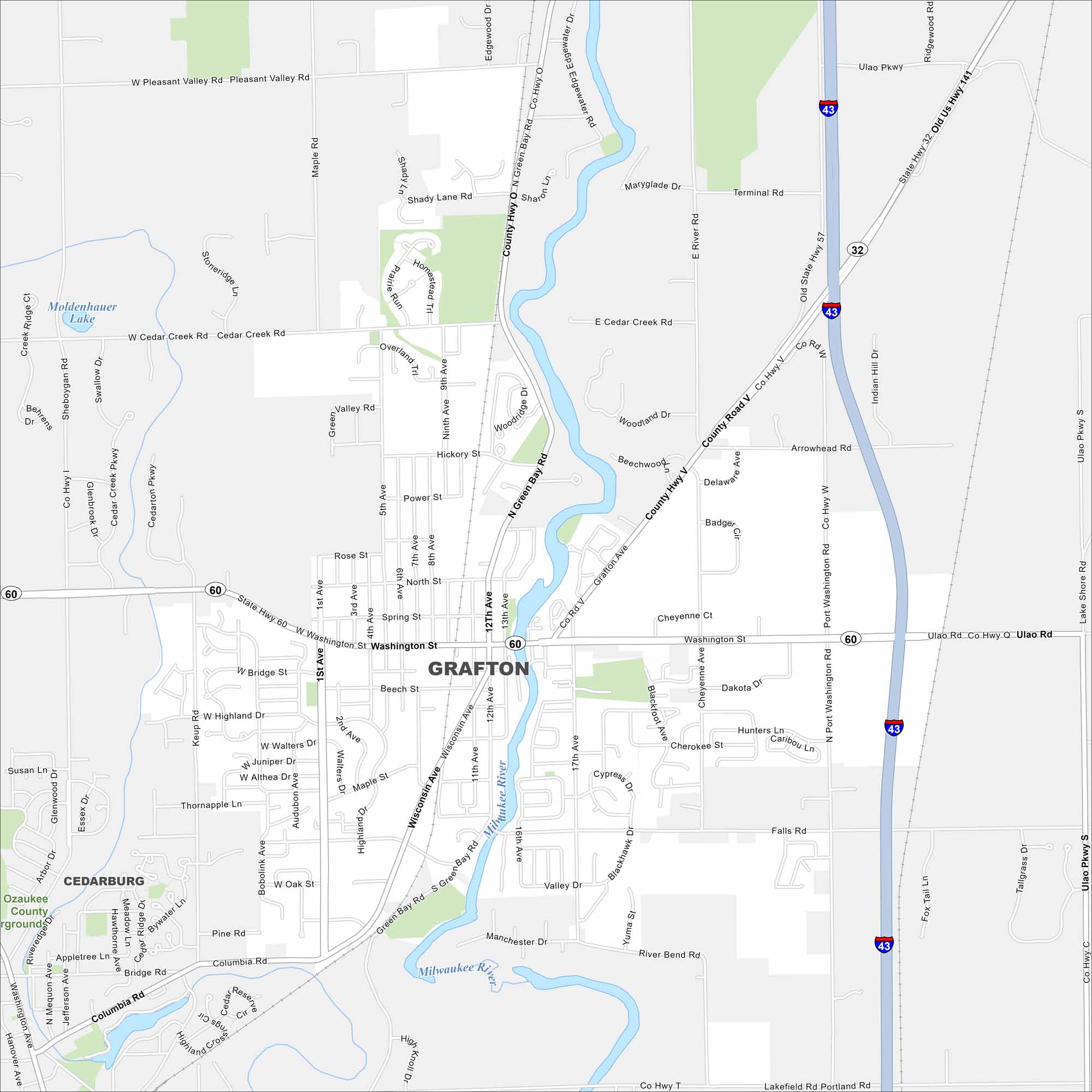
Our map of Grafton shows it north of Milwaukee along the Milwaukee River. The river winds through, shaping its layout. Just east, Lake Michigan adds a wide open edge.
Map Information
On the Map
Interstates/Highways: I-43, State Rte 60, State Rte 32, US Hwy 141 Major Roads: Washington St, Port Washington Rd, Wisconsin Ave, Green Bay Rd, County Hwy V, County Hwy O, County Road V, Lake Shore Rd, Falls Rd, Cedar Creek Rd, Keup Rd, Maple Rd, Cheyenne Ave, 1st Ave, 12th Ave, 17th Ave, Terminal Rd, Ulao Pkwy, Ulao Rd, River Bend Rd Lakes and Reservoirs: Moldenhauer Lake Major Rivers: Milwaukee River Nearby Communities: CedarburgWisconsin State Maps
Discover maps of the Badger State.


City Maps of Wisconsin
See our Wisconsin maps designed for clarity.


