Map of Grass Valley, California
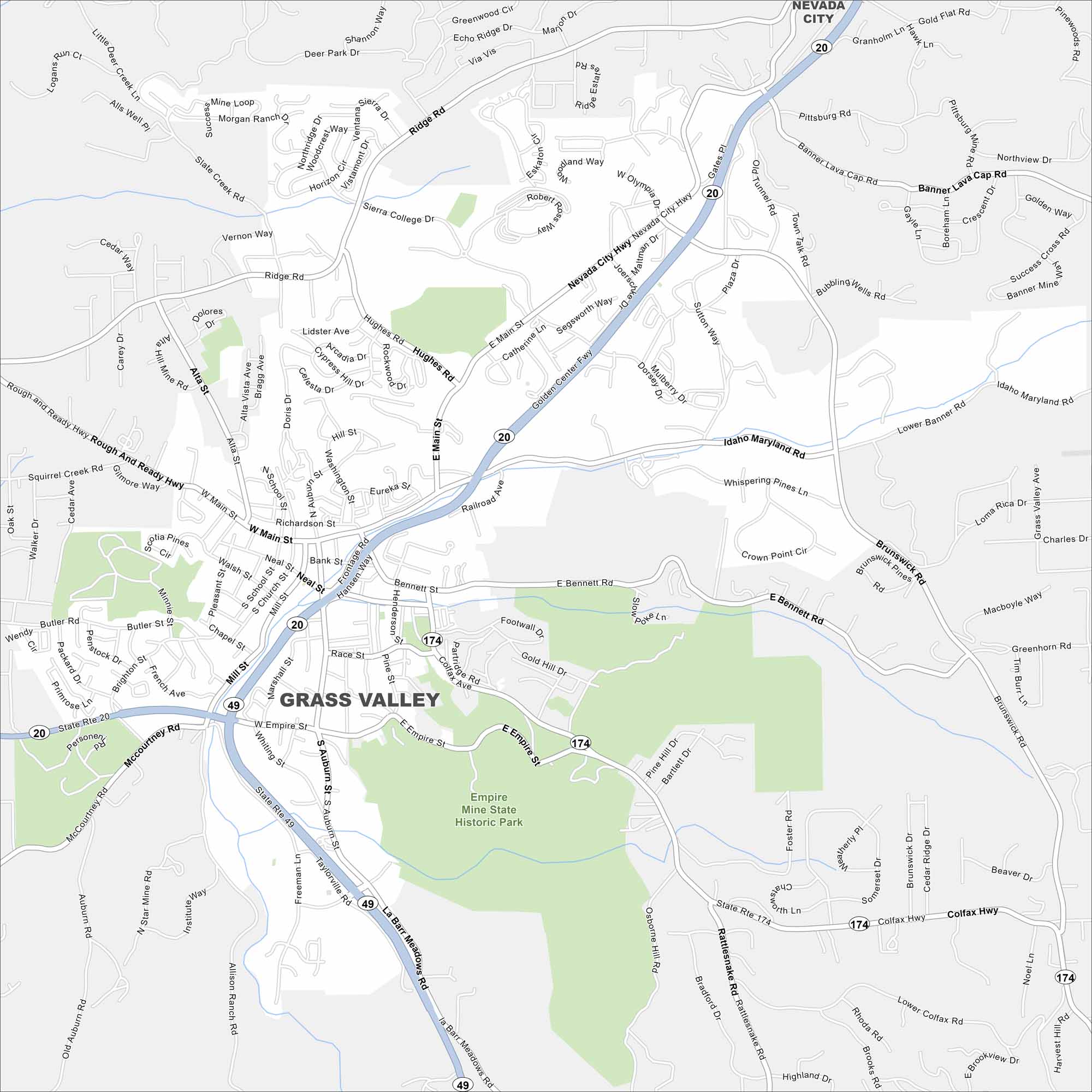
Grass Valley is in the Sierra Nevada foothills of northern California. Our map shows winding mountain roads, nearby creeks and parks. It’s well known for its Gold Rush history and beautiful surroundings.
California State Maps
Explore California with our state maps


Map Information
On the Map
Interstates/Highways: State Rte 20, State Rte 49, State Rte 174, Colfax Hwy Major Roads: Idaho Maryland Rd, Rough and Ready Hwy, Nevada City Hwy, Golden Center Fwy, Main St, Auburn St, Empire St, Bennett Rd, Brunswick Rd, Mill St, Neal St, School St, McCourtney Rd, Allison Ranch Rd, La Barr Meadows Rd, Ridge Rd, Hughes Rd, Freeman Ln, Taylorville Rd Parks and Preserves: Empire Mine State Historic Park Nearby Communities: Nevada CityCalifornia City Maps
Here are detailed maps of California


