Map of Greendale, Wisconsin
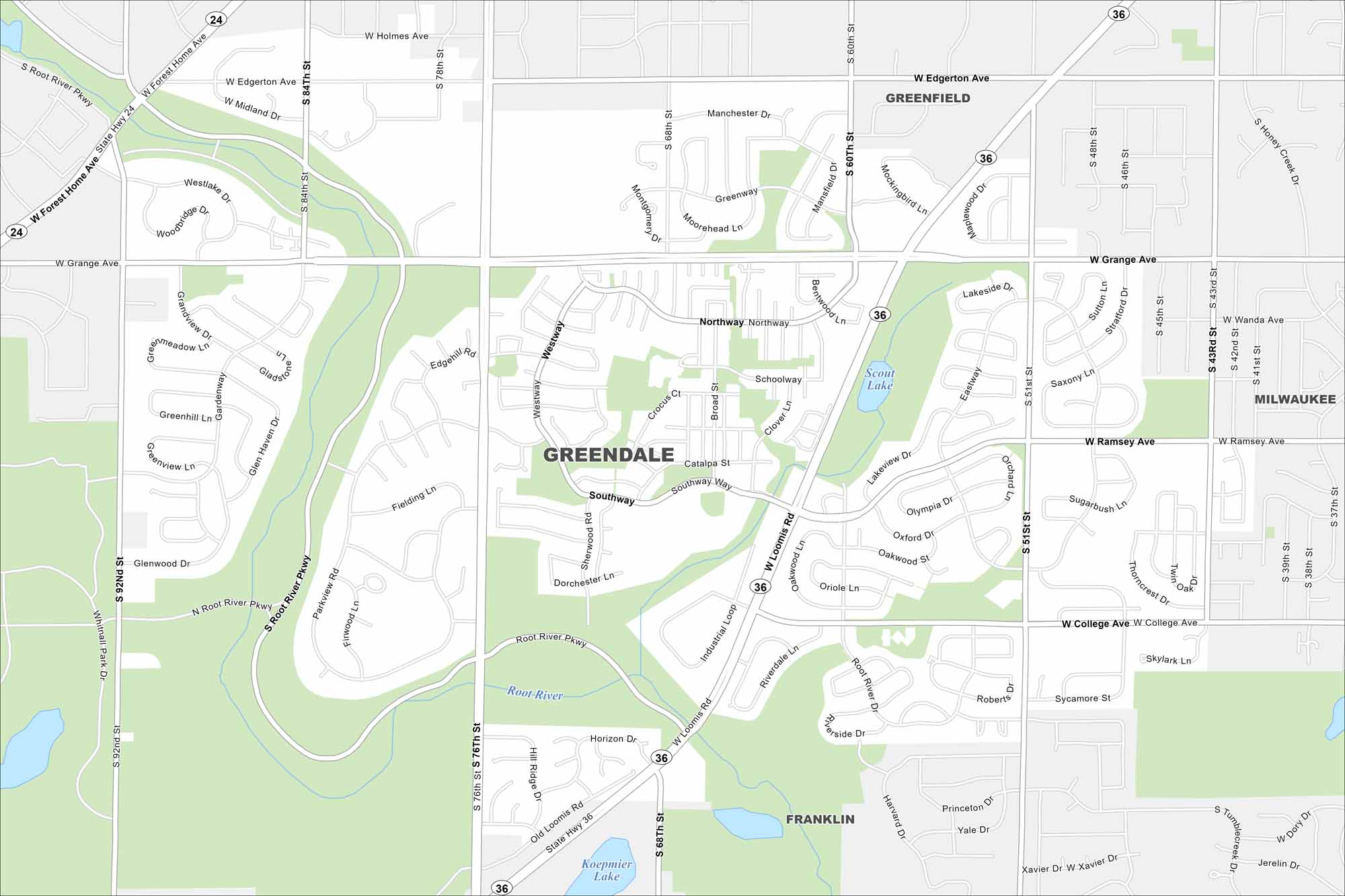
Greendale is a planned community just southwest of Milwaukee. Our map shows neat neighborhoods with parks and green space. Highways tie it directly into the metro area.
Map Information
On the Map
Interstates/Highways: State Rte 36, State Rte 24 Major Roads: Loomis Rd, 76th St, 60th St, 92nd St, Forest Home Ave, Grange Ave, Ramsey Ave, College Ave, Edgerton Ave, 84th St, 51st St, Industrial Loop, Northway, Southway, Broad St, Root River Pkwy, 43rd St, Holmes Ave, Manchester Dr Lakes and Reservoirs: Scout Lake, Koepmier Lake Major Rivers: Root River Nearby Communities: Greenfield, Franklin, MilwaukeeWisconsin State Maps
Discover maps of the Badger State.


City Maps of Wisconsin
See our Wisconsin maps designed for clarity.


