Map of Healdsburg, California
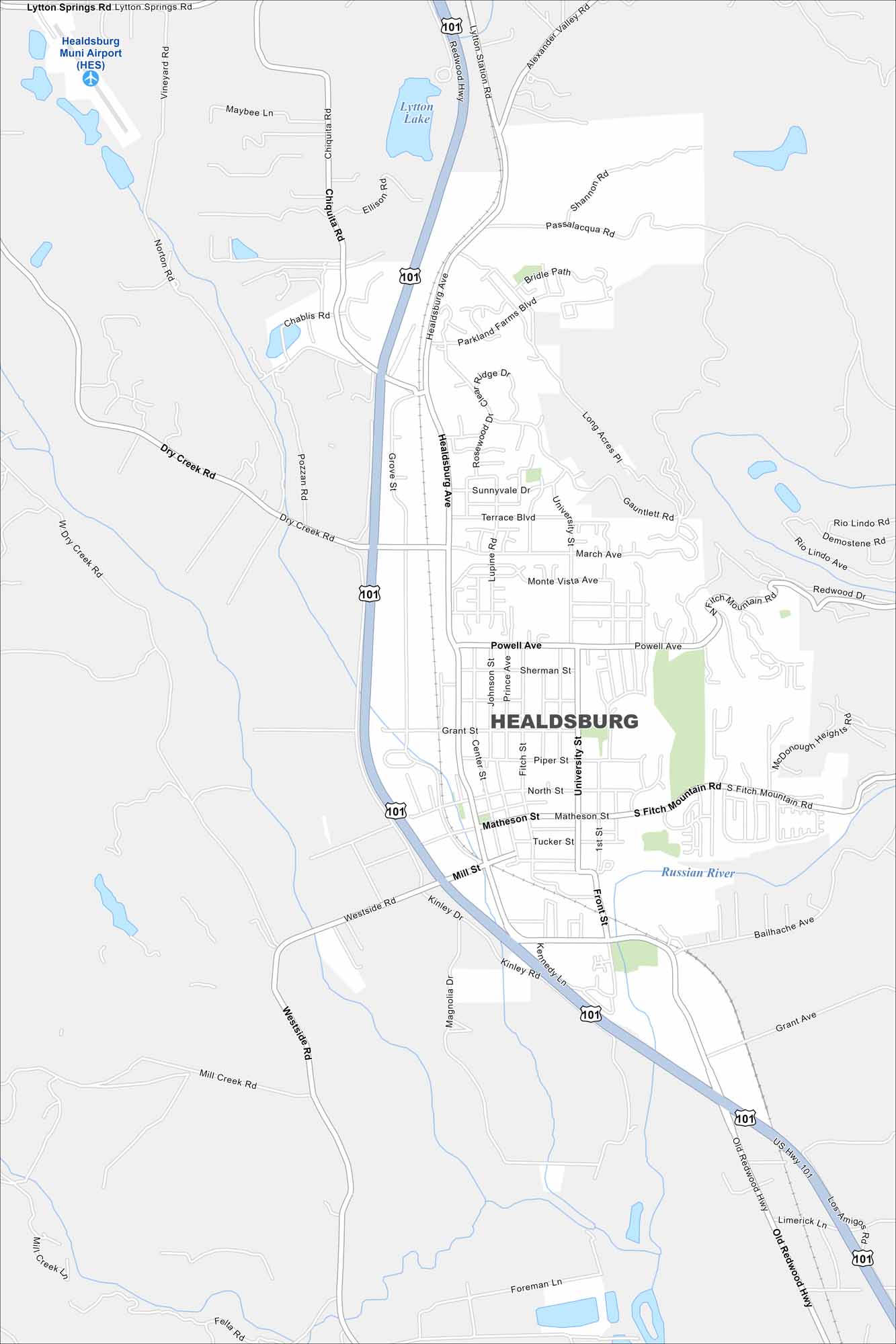
Healdsburg is in northern Sonoma County, surrounded by vineyards. Our map shows the Russian River winding through the area. Hills and wine country frame the city on all sides.
California State Maps
Explore California with our state maps


Map Information
On the Map
Interstates/Highways: US Hwy 101 Major Roads: Healdsburg Ave, Dry Creek Rd, Westside Rd, Mill St, Matheson St, University St, Powell Ave, March Ave, Grant St, North St, Piper St, Tucker St, Front St, Bailhache Ave, Lytton Springs Rd, Chiquita Rd, Alexander Valley Rd, Passalacqua Rd, Parkland Farms Blvd, Sunnyvale Dr Airports: Healdsburg Muni Airport (HES) Lakes and Reservoirs: Lytton Lake Major Rivers: Russian River Nearby Communities: LyttonCalifornia City Maps
Here are detailed maps of California


