Map of Whittier, California
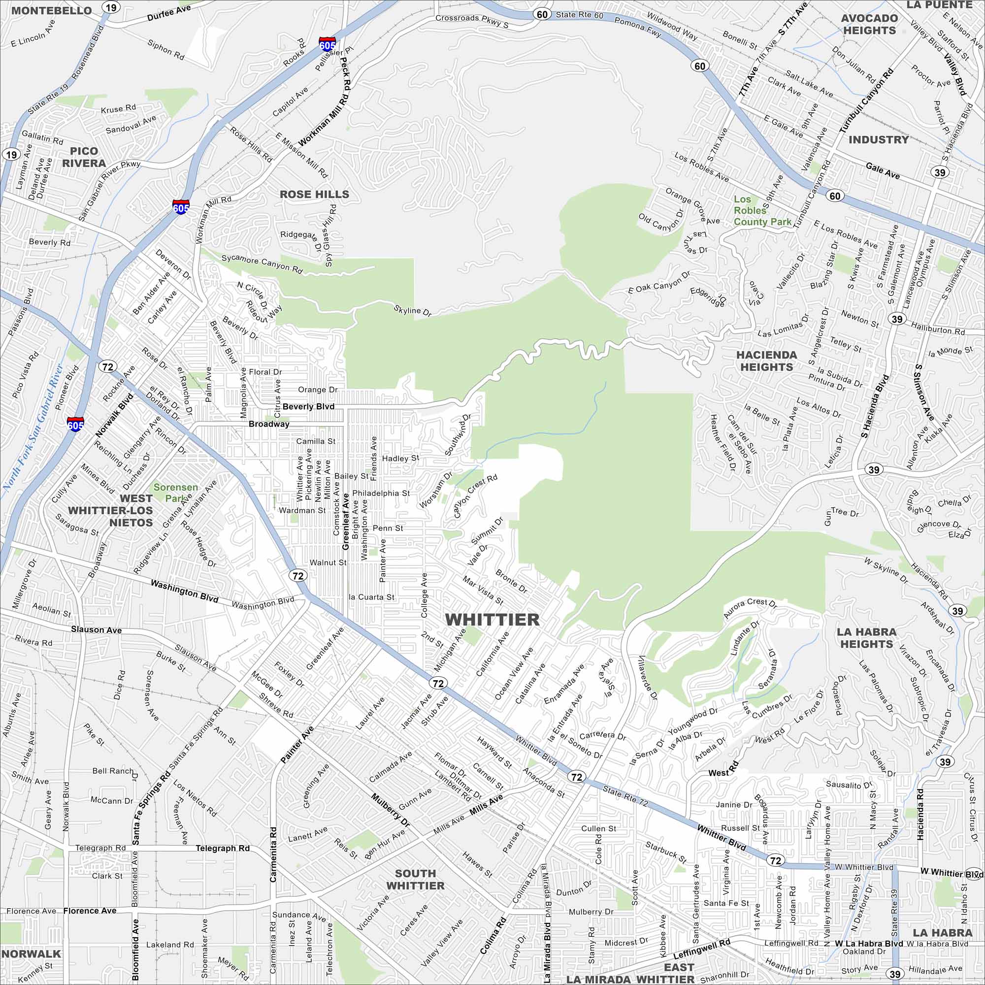
Our Whittier map shows its historic Uptown district and tree-lined streets. The city sits just southeast of Los Angeles and is part of the Gateway Cities.
California State Maps
Explore California with our state maps


Map Information
On the Map
Interstates/Highways: I-605, State Rte 60, State Rte 72, State Rte 19 Major Roads: Whittier Blvd, Washington Blvd, Beverly Blvd, Telegraph Rd, Colima Rd, Painter Ave, Norwalk Blvd, Workman Mill Rd, Rosemead Blvd, Pioneer Blvd, Santa Fe Springs Rd, Mar Vista St, Philadelphia St, Hadley St, Broadway, Lambert Rd, Mills Ave, Leffingwell Rd, La Habra Blvd Major Rivers: North Fork San Gabriel River Parks and Preserves: Los Robles County Park, Sorensen Park Nearby Communities: Montebello, Pico Rivera, Rose Hills, West Whittier-Los Nietos, South Whittier, Hacienda Heights, Avocado Heights, Industry, La Habra Heights, La Habra, East La Mirada, Santa Fe SpringsCalifornia City Maps
Here are detailed maps of California


