Map of La Quinta, California
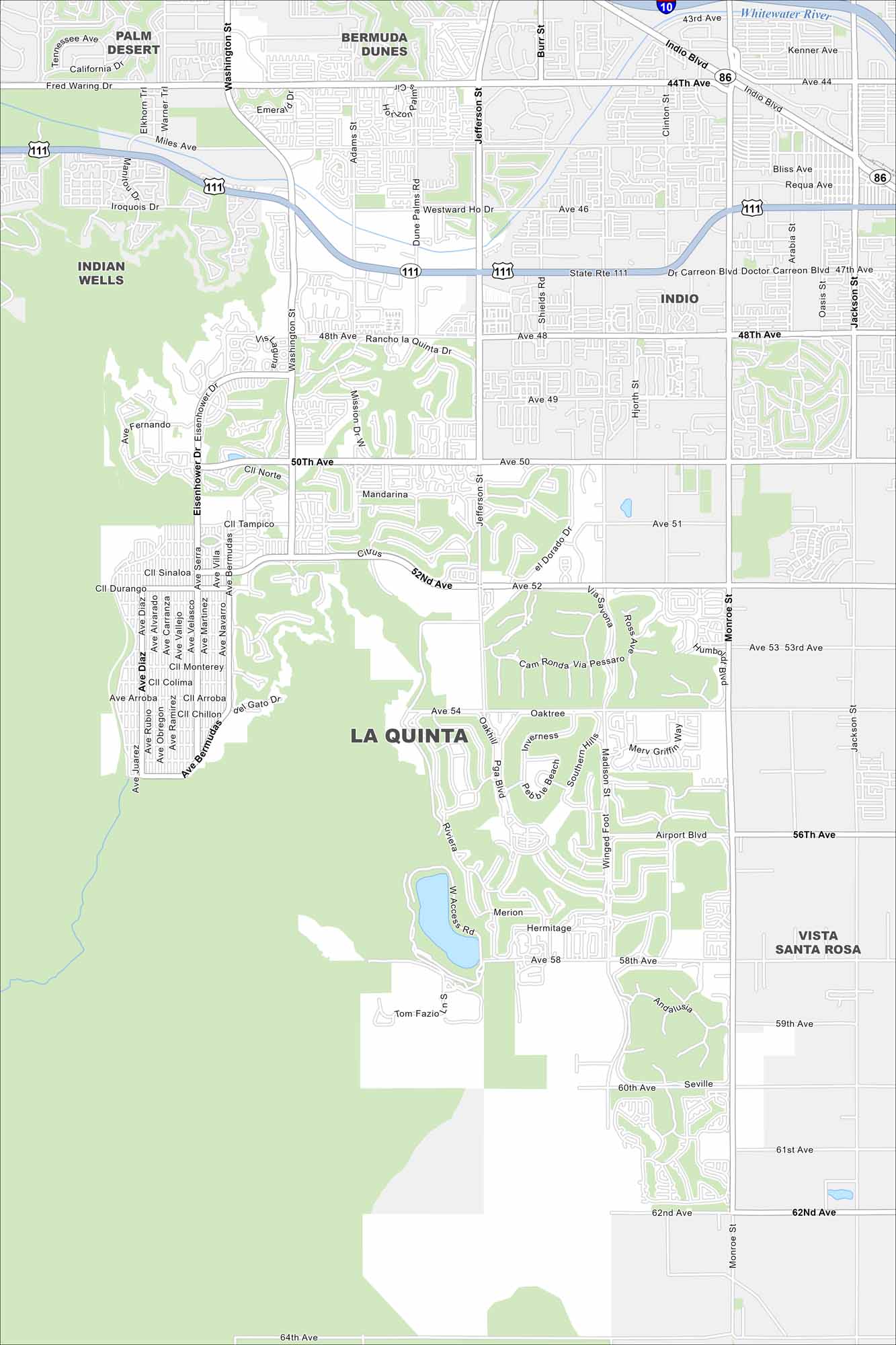
Check out La Quinta at the base of the Santa Rosa Mountains. Desert terrain shape its layout with the occasional golf course. Highway 111 runs straight through town.
California State Maps
Explore California with our state maps


Map Information
On the Map
Interstates/Highways: I-10, State Rte 111, State Rte 86 Major Roads: Washington St, Jefferson St, Monroe St, Eisenhower Dr, Miles Ave, Fred Waring Dr, 48th Ave, 50th Ave, 52nd Ave, Airport Blvd, Avenue 54, Madison St, Indio Blvd Major Rivers: Whitewater River Nearby Communities: Indio, Indian Wells, Palm Desert, Bermuda Dunes, Vista Santa RosaCalifornia City Maps
Here are detailed maps of California


