Map of La Verne, California
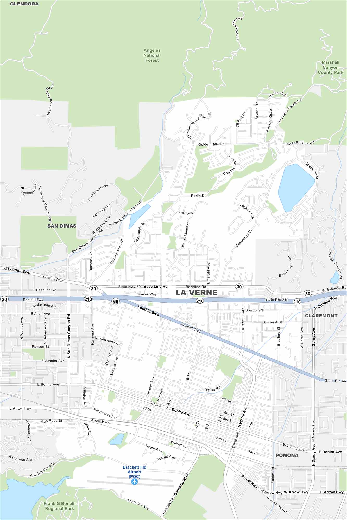
Our map shows La Verne hugging the foothills of the San Gabriel Mountains. The university sits near the center with residential streets extending outward from downtown.
California State Maps
Explore California with our state maps


Map Information
On the Map
Interstates/Highways: I-210, State Rte 210, State Rte 30, State Rte 66 Major Roads: Foothill Blvd, Base Line Rd, Bonita Ave, Arrow Hwy, Wheeler Ave, White Ave, Garey Ave, Fruit St, San Dimas Canyon Rd, Emerald Ave, Williams Ave, Ganesha Blvd, Puddingstone Dr Airports: Brackett Fld Airport (POC) Lakes and Reservoirs: Puddingstone Reservoir Parks and Preserves: Angeles National Forest, Frank G Bonelli Regional Park, Marshall Canyon County Park Nearby Communities: San Dimas, Claremont, Pomona, GlendoraCalifornia City Maps
Here are detailed maps of California


