Map of Lakewood, California
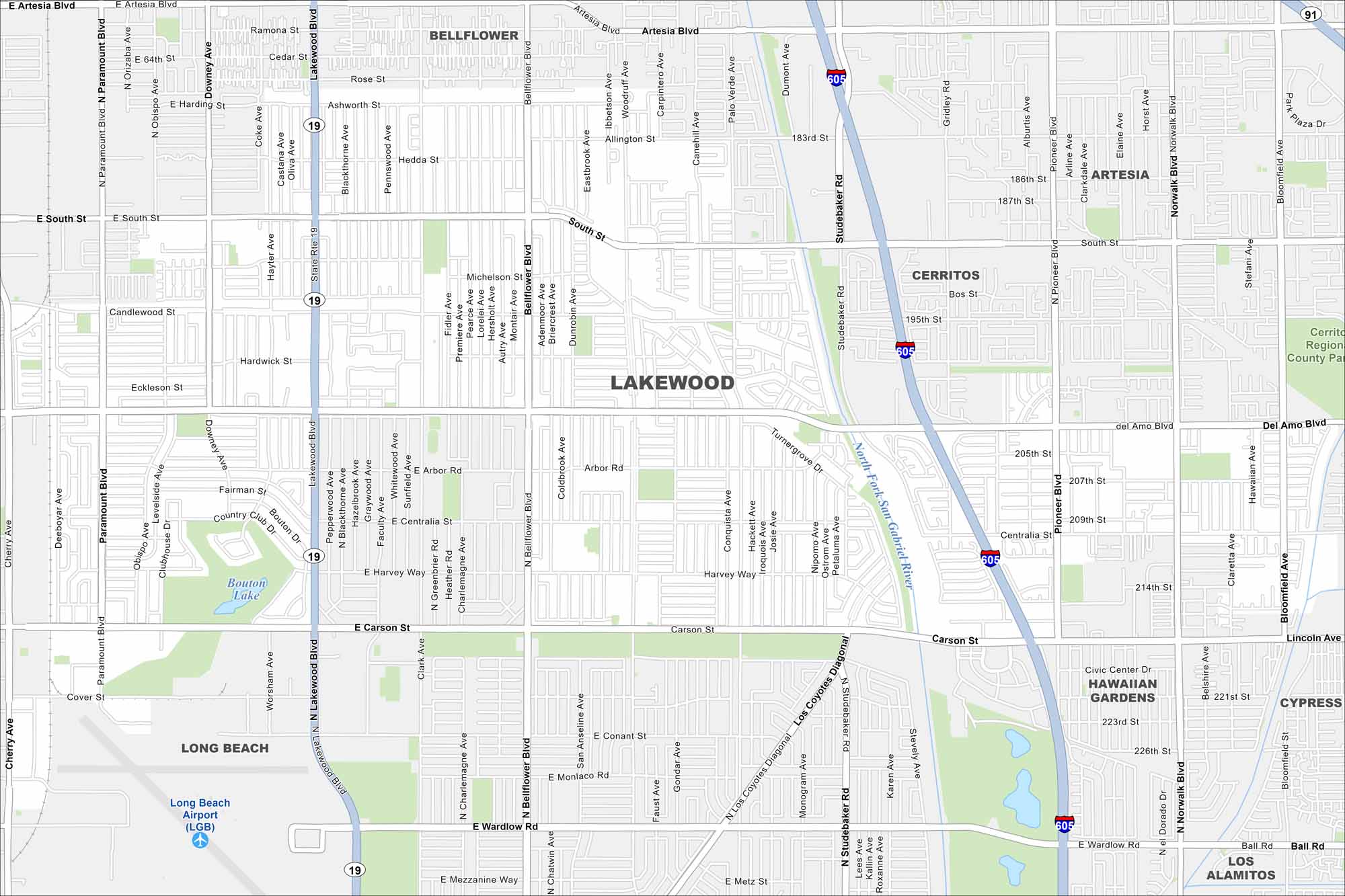
Our map of Lakewood reveals a dense residential road network. Freeways border the city on nearly every side. Parks and golf courses break up the streets.
California State Maps
Explore California with our state maps


Map Information
On the Map
Interstates/Highways: I-605, State Rte 19, State Rte 91 Major Roads: Lakewood Blvd, Bellflower Blvd, Carson St, Del Amo Blvd, South St, Artesia Blvd, Clark Ave, Woodruff Ave, Studebaker Rd, Pioneer Blvd, Norwalk Blvd, Palo Verde Ave, Paramount Blvd, Cherry Ave, Wardlow Rd, Centralia St, Harvey Way, Hardwick St, Candlewood St, Los Coyotes Diagonal Airports: Long Beach Airport (LGB) Lakes and Reservoirs: Bouton Lake Major Rivers: North Fork San Gabriel River Parks and Preserves: Cerritos Regional County Park Nearby Communities: Long Beach, Bellflower, Cerritos, Artesia, Hawaiian Gardens, Cypress, Los AlamitosCalifornia City Maps
Here are detailed maps of California


