Map of Lathrop, California
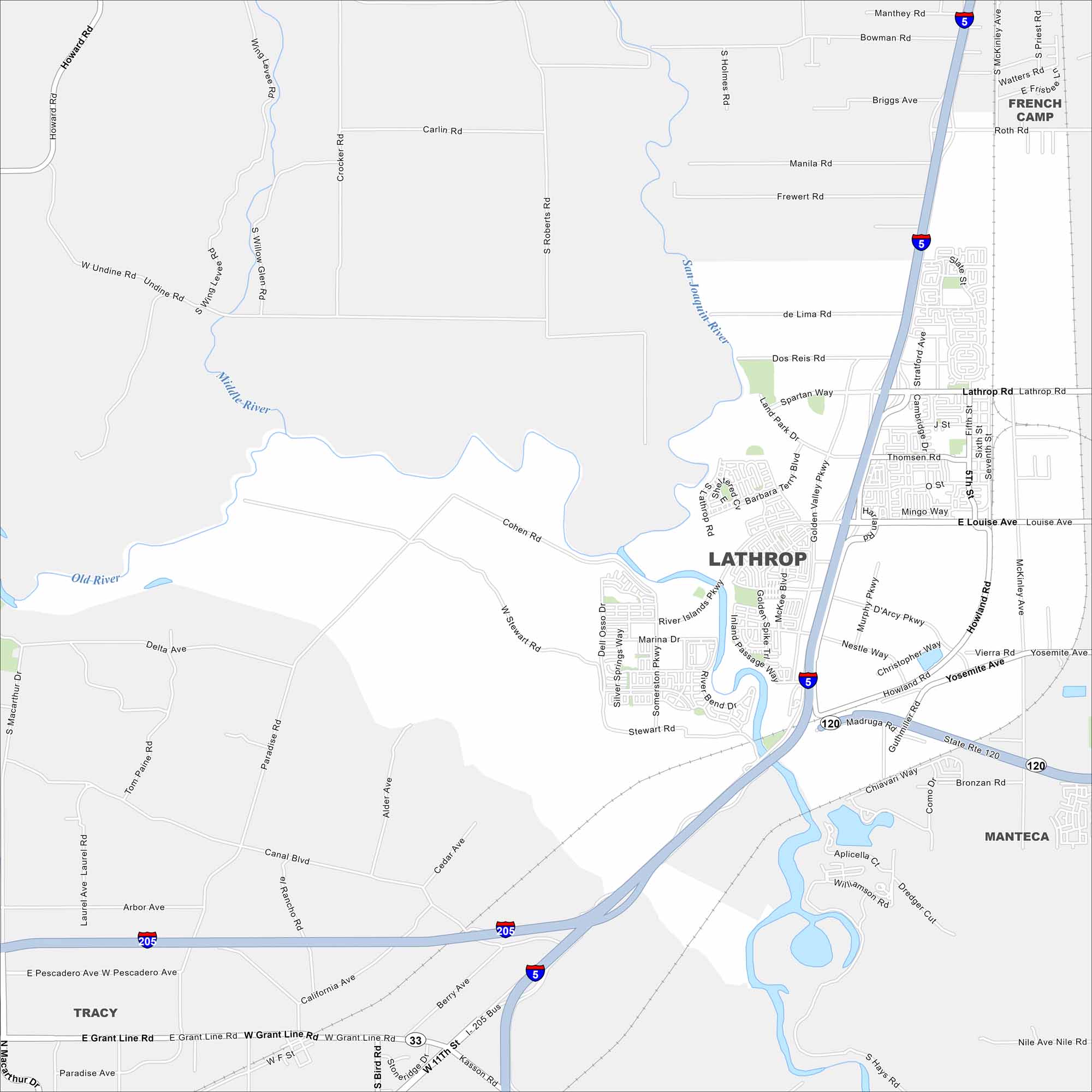
Lathrop sits at the junction of the San Joaquin River and Delta waterways. Subdivisions and warehouses dominate the map. Open farmland surrounds its edges.
California State Maps
Explore California with our state maps


Map Information
On the Map
Interstates/Highways: I-205, I-5, State Rte 120, State Rte 33 Major Roads: Lathrop Rd, Louise Ave, Yosemite Ave, Harlan Rd, Manthey Rd, Guthmiller Rd, Roth Rd, Murphy Pkwy, Golden Valley Pkwy, River Islands Pkwy, Inland Passage Way, Stewart Rd, Dos Reis Rd, de Lima Rd, Carlin Rd, Cohen Rd, Paradise Rd, Canal Blvd, Grant Line Rd, Pescadero Ave Lakes and Reservoirs: San Joaquin River, Middle River, Old River Nearby Communities: French Camp, Manteca, TracyCalifornia City Maps
Here are detailed maps of California


