Map of Livermore, California
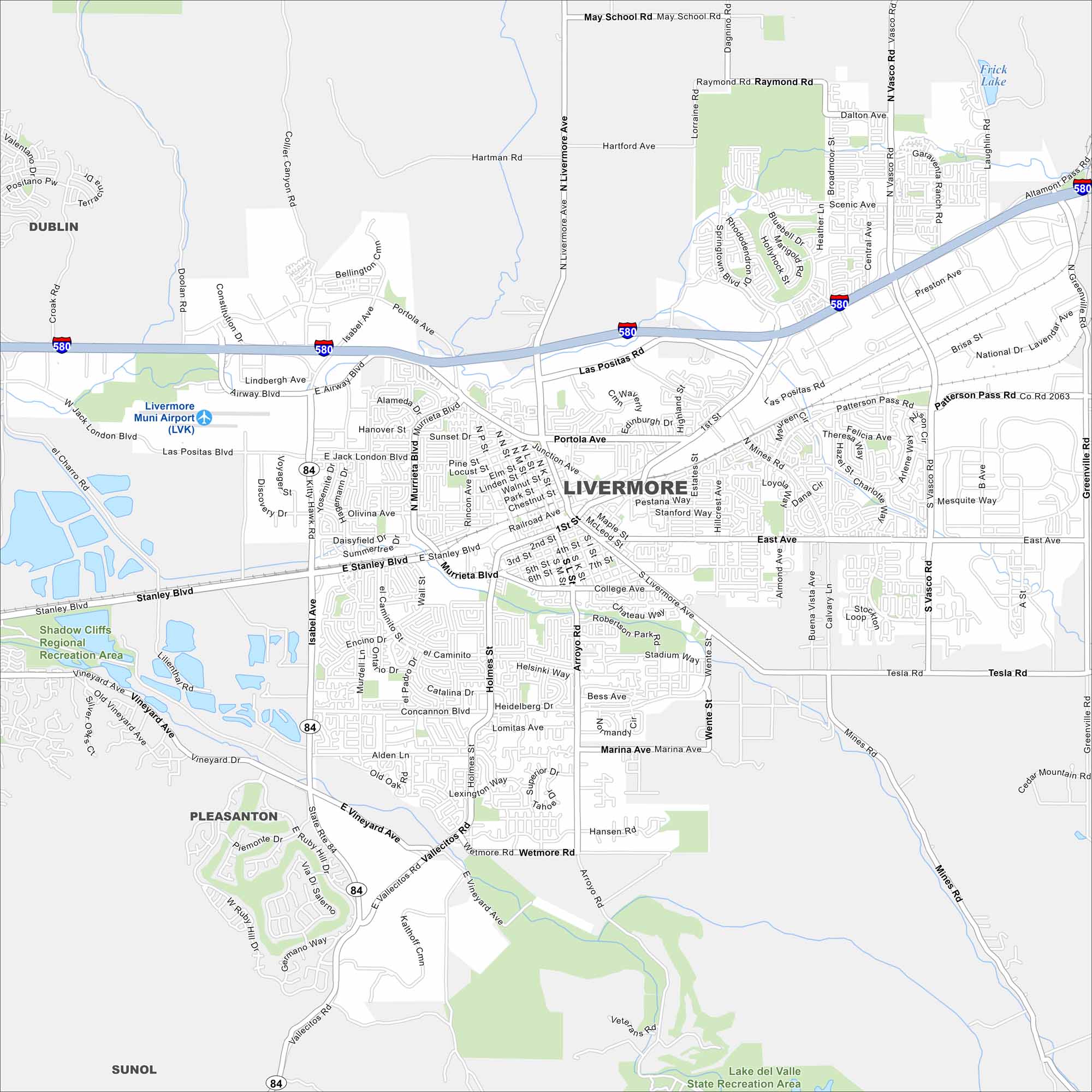
Our map of Livermore highlights its major routes and parks. Highways 580 and 84 connect it to the Bay Area. The city sits at the edge of the Tri-Valley region.
California State Maps
Explore California with our state maps


Map Information
On the Map
Interstates/Highways: I-580, State Rte 84 Major Roads: First St, Stanley Blvd, Livermore Ave, Vasco Rd, Airway Blvd, Greenville Rd, Portola Ave, Vineyard Ave, Holmes St, Murrieta Blvd, Concannon Blvd, Tesla Rd, Mines Rd, Isabel Ave, Jack London Blvd, Patterson Pass Rd, East Ave, Wetmore Rd, Vallecitos Rd, Las Positas Rd Airports: Livermore Muni Airport (LVK) Lakes and Reservoirs: Frick Lake, Lake del Valle Parks and Preserves: Shadow Cliffs Regional Recreation Area, Lake del Valle State Recreation Area Nearby Communities: Dublin, Pleasanton, SunolCalifornia City Maps
Here are detailed maps of California


