Map of Livingston, California
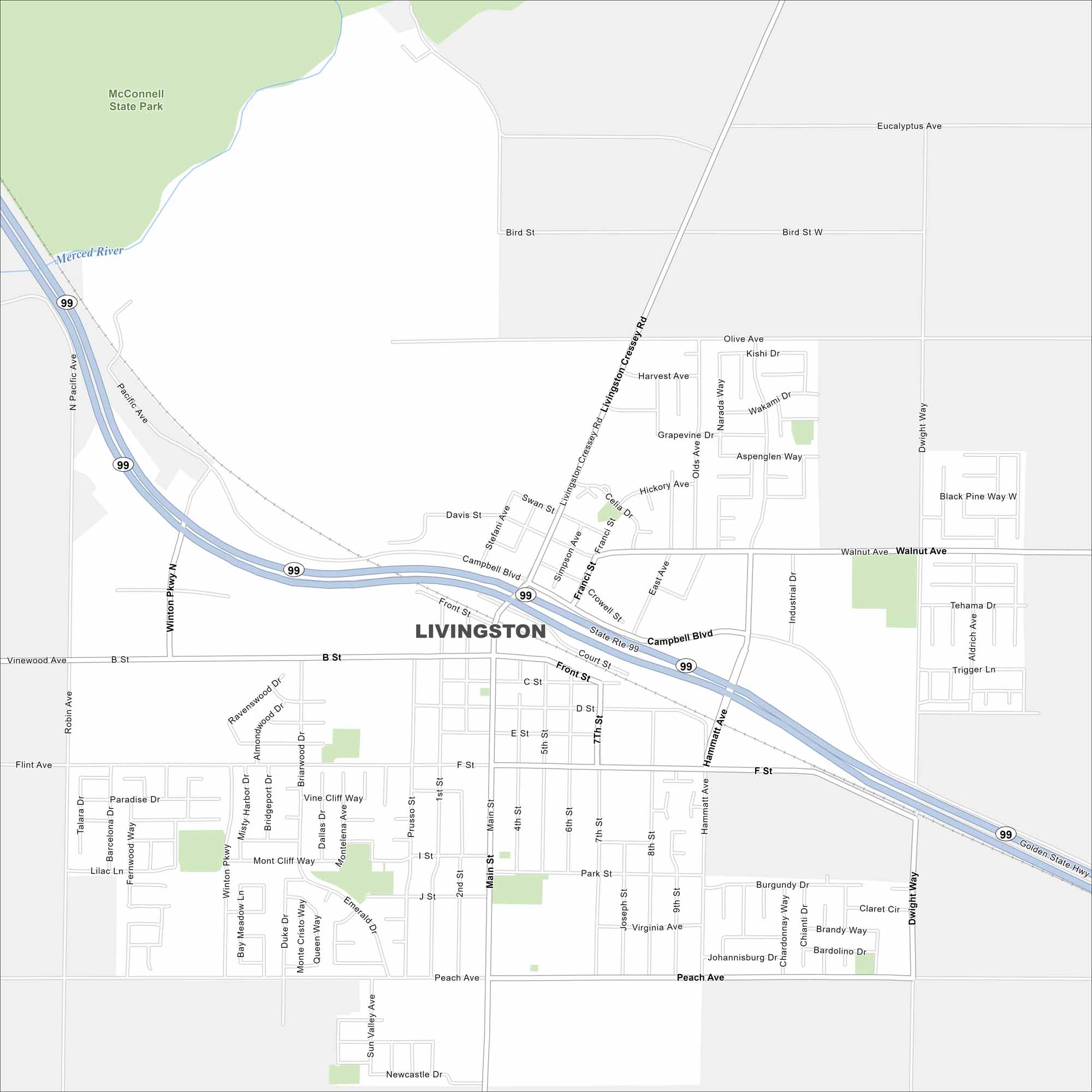
Livingston is set in the San Joaquin Valley in California. Our map shows Highway 99 cutting through town in a diagonal direction. McConnell State Park sits on the northwest edge of the city.
California State Maps
Explore California with our state maps


Map Information
On the Map
Interstates/Highways: State Rte 99 Major Roads: Campbell Blvd, Main St, Front St, B St, F St, Peach Ave, Walnut Ave, Winton Pkwy, Hammatt Ave, Dwight Way, Livingston Cressey Rd, Olive Ave, Bird St, Eucalyptus Ave, Robin Ave, Sunset Dr, Park St, Court St, 6th St, 7th St Major Rivers: Merced River Parks and Preserves: McConnell State ParkCalifornia City Maps
Here are detailed maps of California


