Map of Los Alamitos, California
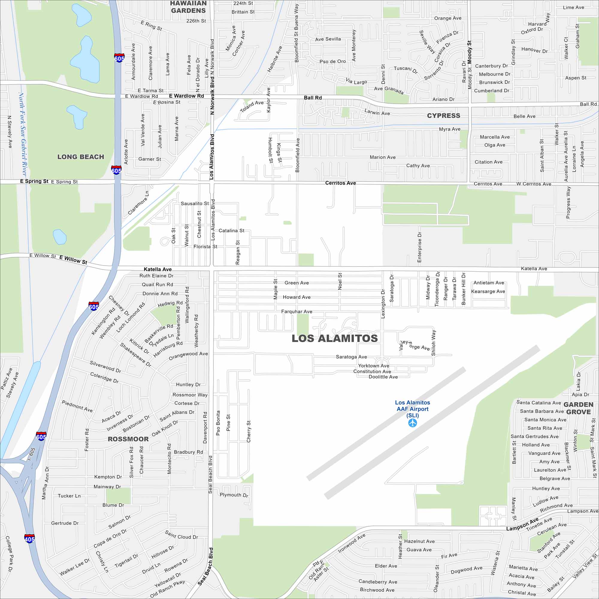
Check out Los Alamitos in northwest Orange County. Freeways and surface streets cross through its compact area. Our map highlights its location near Seal Beach.
California State Maps
Explore California with our state maps


Map Information
On the Map
Interstates/Highways: I-405, I-605 Major Roads: Katella Ave, Los Alamitos Blvd, Seal Beach Blvd, Cerritos Ave, Ball Rd, Willow St, Spring St, Wardlow Rd, Bloomfield St, Lampson Ave, Walker St, Valley View St, Reagan St, Farquhar Ave, Howard Ave, Green Ave, Florista St, Catalina St, Sausalito St, Deni St Airports: Los Alamitos AAF Airport (SLI) Major Rivers: San Gabriel River Nearby Communities: Long Beach, Hawaiian Gardens, Cypress, Rossmoor, Garden GroveCalifornia City Maps
Here are detailed maps of California


