Map of Lynwood, California
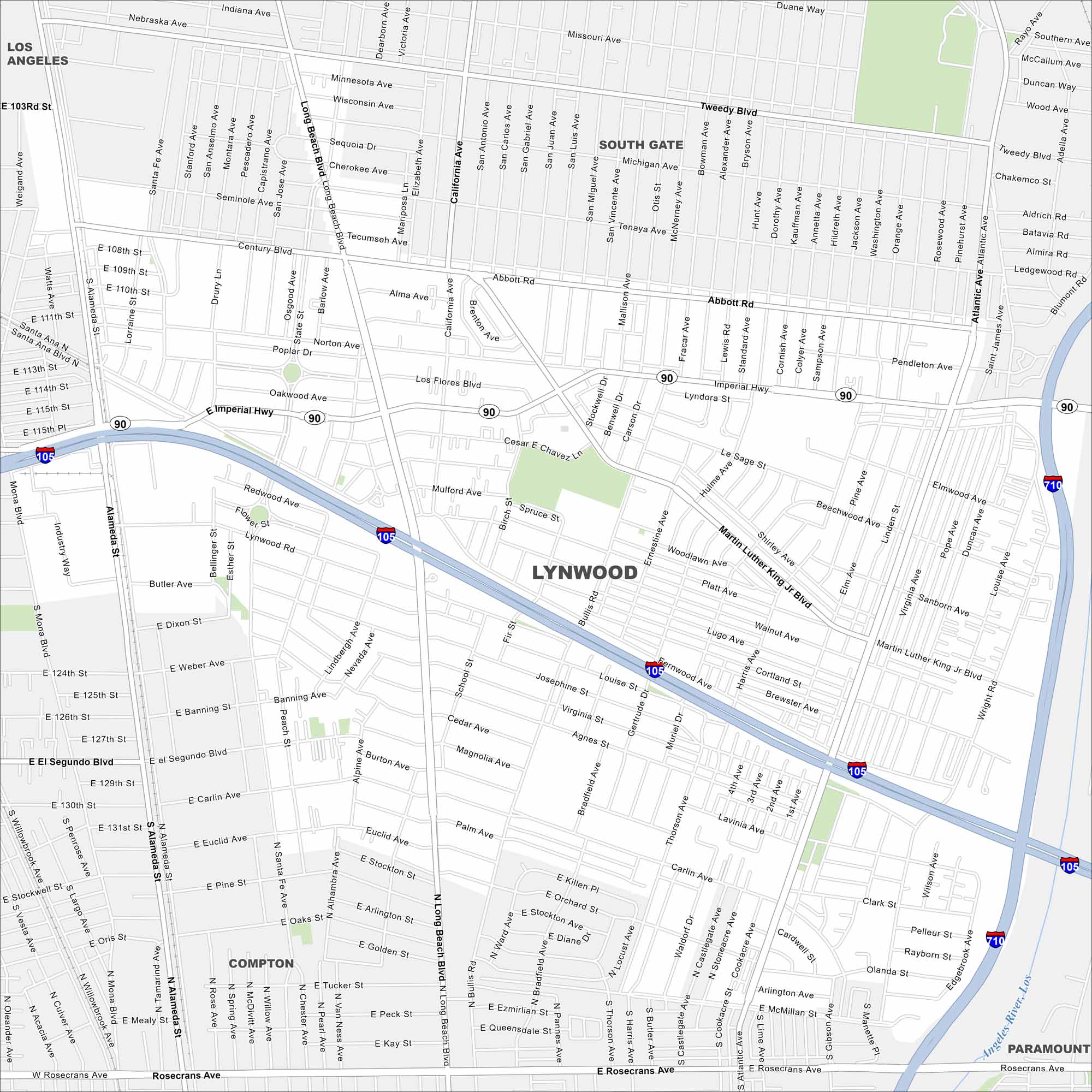
Lynwood sits in Los Angeles County near the 105 and 710 freeways. Our map shows a compact grid of streets. The city is surrounded by other close-knit suburbs.
California State Maps
Explore California with our state maps


Map Information
On the Map
Interstates/Highways: I-105, I-710, Imperial Hwy Major Roads: Atlantic Ave, Long Beach Blvd, Alameda St, Martin Luther King Jr Blvd, Century Blvd, Bullis Rd, State St, Abbott Rd, Wright Rd, Fernwood Ave, Mulford Ave, Josephine St, Redwood Ave, Tweedy Blvd, Magnolia Ave, Palm Ave, Euclid Ave, Carlin Ave, Rosecrans Ave Major Rivers: Los Angeles River Nearby Communities: South Gate, Compton, Paramount, Los AngelesCalifornia City Maps
Here are detailed maps of California


