Map of Madera, California
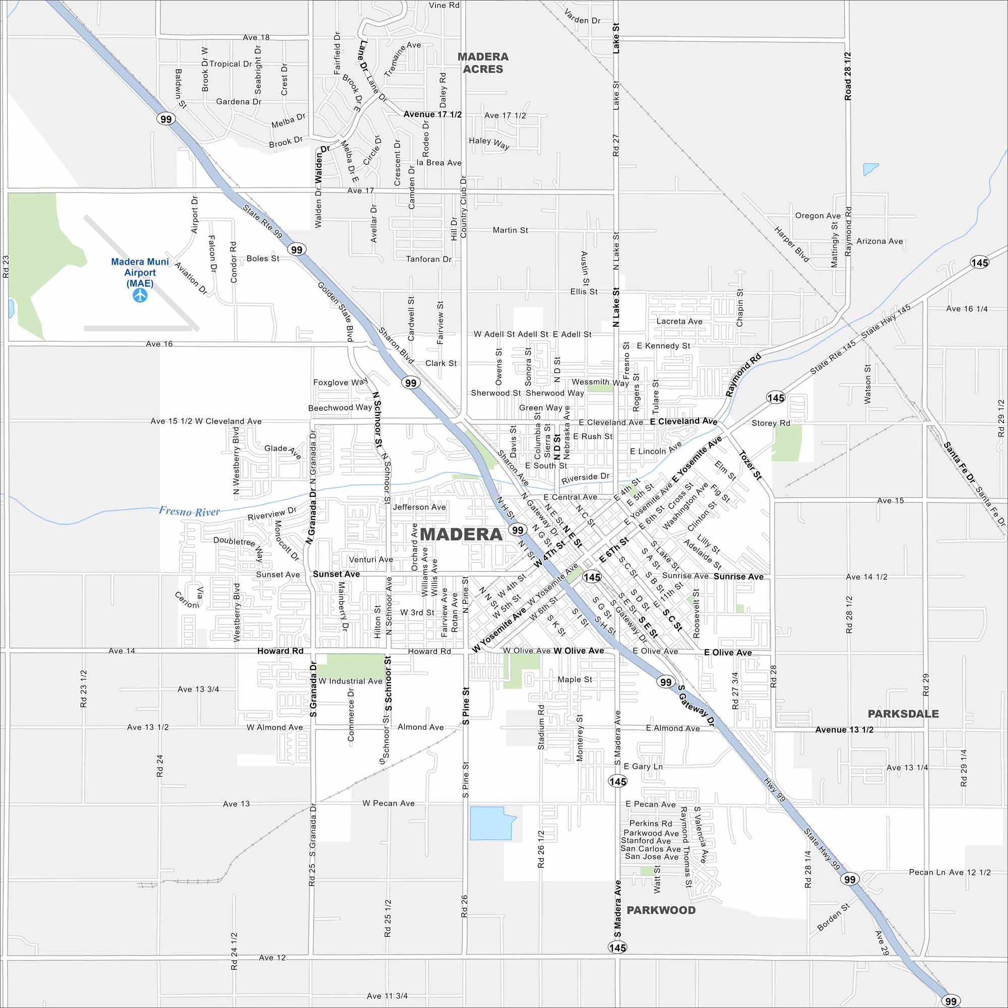
Our map of Madera shows its location in the San Joaquin Valley. Highways link it north to Merced and south to Fresno. Farmland surrounds the city in every direction.
California State Maps
Explore California with our state maps


Map Information
On the Map
Interstates/Highways: State Rte 99, State Rte 145 Major Roads: Yosemite Ave, Cleveland Ave, Howard Rd, Gateway Dr, Madera Ave, Almond Ave, Olive Ave, Pecan Ave, Lake St, Schnoor St, Granada Dr, Pine St, Ellis St, 4th St, 6th St, Sunset Ave, Riverside Dr, Kennedy St, Sharon Blvd, Tozer St Airports: Madera Muni Airport (MAE) Major Rivers: Fresno River Nearby Communities: Madera Acres, Parkwood, ParksdaleCalifornia City Maps
Here are detailed maps of California


