Map of Manteca, California
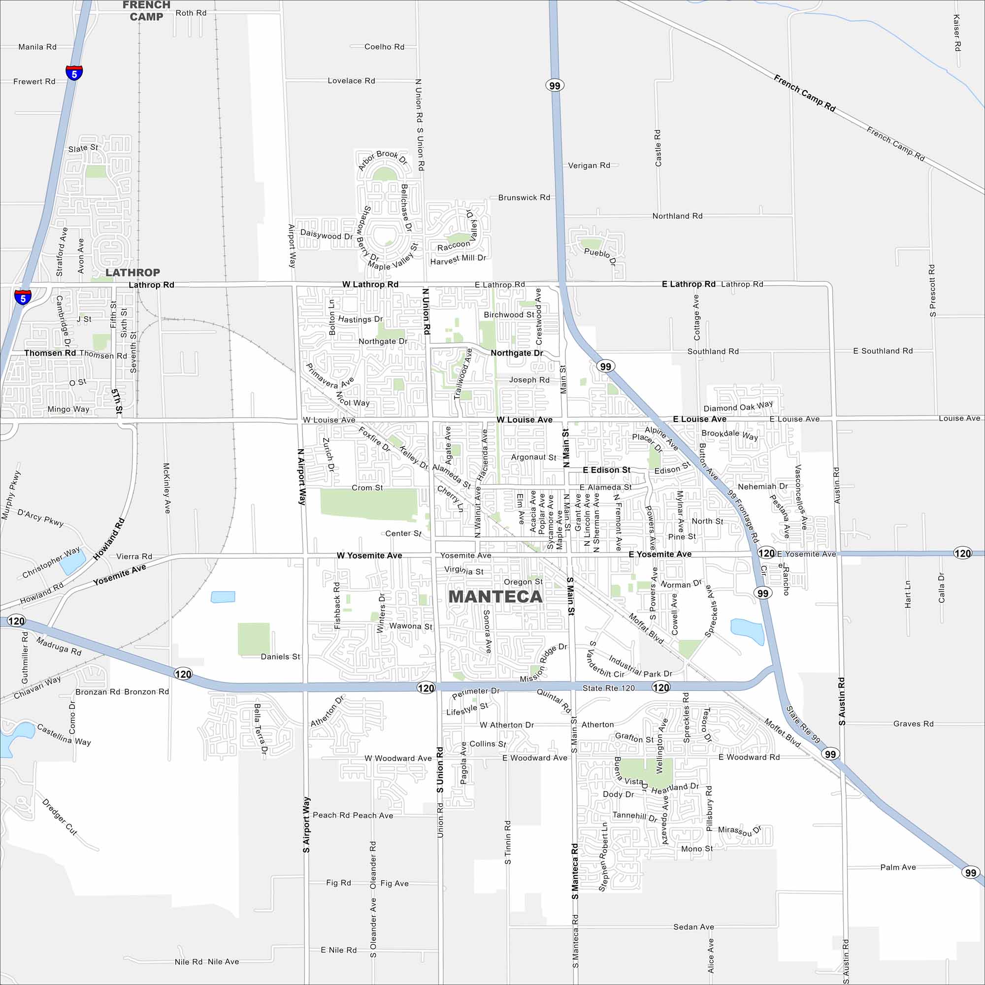
Our map of Manteca highlights its crossroads of Highway 99 and 120. Rail lines run through its center. Orchards and farmland border the city’s edges.
California State Maps
Explore California with our state maps


Map Information
On the Map
Interstates/Highways: I-5, State Rte 99, State Rte 120 Major Roads: Yosemite Ave, Main St, Lathrop Rd, Louise Ave, Airport Way, Union Rd, Woodward Ave, French Camp Rd, Moffat Blvd, Daniels St, Center St, Northgate Dr, Alameda St, Edison St, Industrial Park Dr, Woodward Ave, Pillsbury Rd, Austin Rd, Atherton Dr, Fig Rd Nearby Communities: Lathrop, French CampCalifornia City Maps
Here are detailed maps of California


