Map of Maryville, Tennessee
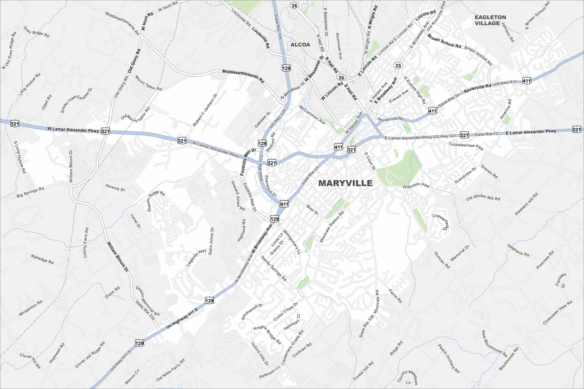
Maryville is a city in and the county seat of Blount County, Tennessee. Check out our map of Maryville, located near the Smoky Mountains.
Map Information
On the Map
Interstates/Highways: US Hwy 129, US Hwy 321, US Hwy 411, State Rte 33, State Rte 35, State Rte 73, State Rte 115, State Rte 335, State Rte 336 Major Roads: Lamar Alexander Pkwy, Broadway Ave, Hall Rd, Montvale Rd, Bessemer St, Lincoln Rd, Washington St, Court St, Cusick St, Harper Ave, Sevierville Rd, Wilkinson Pike, Morganton Rd, William Blount Dr, Louisville Rd, Old Glory Rd, Robert C Jackson Dr, Foothills Mall Dr, Montgomery Ln, Sandy Springs Rd Nearby Communities: Alcoa, Eagleton VillageTennessee State Maps
Here are our state maps of Tennessee.


City Maps of Tennessee
Explore our Tennessee map collection


