Map of Menifee, California
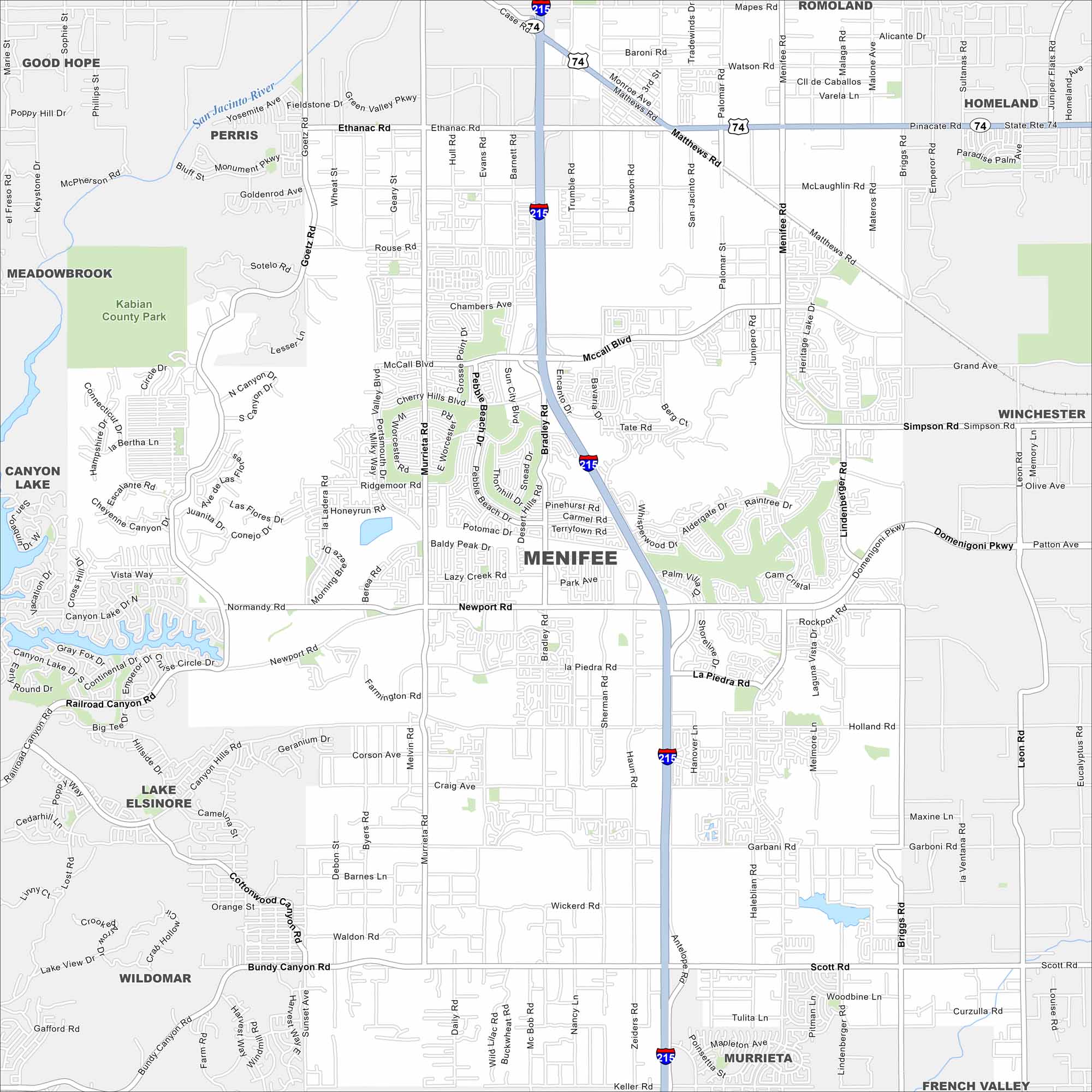
Explore Menifee with our road map. Suburban growth fills the valleys, with hills on the edges. It’s situated in the Inland Empire, as well as Riverside County.
California State Maps
Explore California with our state maps


Map Information
On the Map
Interstates/Highways: I-215, State Rte 74 Major Roads: Newport Rd, McCall Blvd, Menifee Rd, Scott Rd, Bundy Canyon Rd, Ethanac Rd, Goetz Rd, Murrieta Rd, Bradley Rd, Haun Rd, Antelope Rd, Domenigoni Pkwy, Matthews Rd, Holland Rd, Garbani Rd, Briggs Rd, Palomar Rd, Leon Rd, Clinton Keith Rd, Evans Rd Major Rivers: San Jacinto River Parks and Preserves: Kabian County Park Nearby Communities: Good Hope, Perris, Meadowbrook, Canyon Lake, Lake Elsinore, Wildomar, Murrieta, French Valley, Homeland, Romoland, WinchesterCalifornia City Maps
Here are detailed maps of California


